MyTopo
Uncas Oklahoma US Topo Map
Couldn't load pickup availability
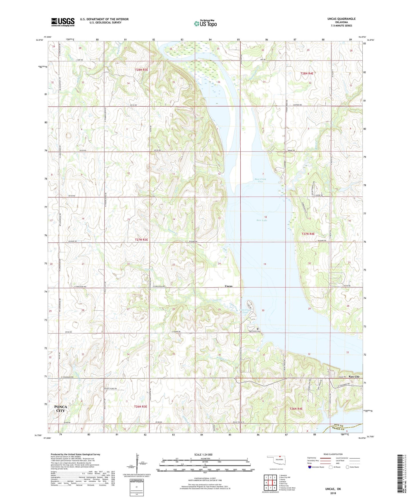
2018 topographic map quadrangle Uncas in the state of Oklahoma. Scale: 1:24000. Based on the newly updated USGS 7.5' US Topo map series, this map is in the following counties: Kay, Osage. The map contains contour data, water features, and other items you are used to seeing on USGS maps, but also has updated roads and other features. This is the next generation of topographic maps. Printed on high-quality waterproof paper with UV fade-resistant inks.
Quads adjacent to this one:
West: Kildare
Northwest: Newkirk
North: Kaw City NW
Northeast: Hardy
East: Kaw City
Southeast: Charley Creek East
South: Charley Creek West
Southwest: Ponca City
Contains the following named places: Bear Creek, Bear Creek Cove, Cat Creek, Coon Creek, Coon Creek Cove, Elm Creek, Kaw Lake, Oak Grove Cemetery, Possum Creek, Sweetwater Creek, Township of Waltham, Uncas, Wildcat Creek, Wolf Creek, ZIP Code: 74641