MyTopo
Beatys Butte Oregon US Topo Map
Couldn't load pickup availability
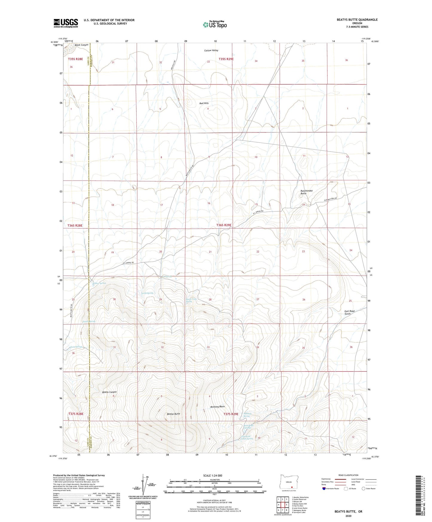
2023 topographic map quadrangle Beatys Butte in the state of Oregon. Scale: 1:24000. Based on the newly updated USGS 7.5' US Topo map series, this map is in the following counties: Harney, Lake. The map contains contour data, water features, and other items you are used to seeing on USGS maps, but also has updated roads and other features. This is the next generation of topographic maps. Printed on high-quality waterproof paper with UV fade-resistant inks.
Quads adjacent to this one:
West: Beatys Butte NW
Northwest: Murphy Waterholes
North: Guano Reservoir
Northeast: Blitzen SW
East: Fish Fin Rim
Southeast: Surveyors Lake
South: Mahogany Butte
Southwest: Lone Grave Butte
This map covers the same area as the classic USGS quad with code o42119d3.
Contains the following named places: Beatys Butte, BLM Field Camp, Buena Vista Spring, D L Spring, East Road Gulch, East Road Gulch Spring, East Road Springs, Mustang Basin, Mustang Spring, North Spring, Rattlesnake Butte, Red Hills, Sunset Spring, Twin Springs, Willow Spring