MyTopo
Bonneville Dam Oregon US Topo Map
Couldn't load pickup availability
Also explore the Bonneville Dam Forest Service Topo of this same quad for updated USFS data
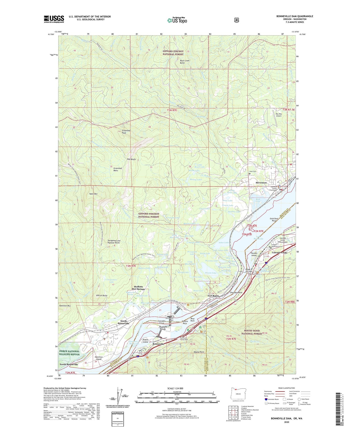
2024 topographic map quadrangle Bonneville Dam in the states of Washington, Oregon. Scale: 1:24000. Based on the newly updated USGS 7.5' US Topo map series, this map is in the following counties: Multnomah, Skamania, Hood River. The map contains contour data, water features, and other items you are used to seeing on USGS maps, but also has updated roads and other features. This is the next generation of topographic maps. Printed on high-quality waterproof paper with UV fade-resistant inks.
Quads adjacent to this one:
West: Beacon Rock
Northwest: Lookout Mountain
North: Stabler
Northeast: Big Huckleberry Mountain
East: Carson
Southeast: Wahtum Lake
South: Tanner Butte
Southwest: Multnomah Falls
Contains the following named places: Aldrich Butte, Aldrich Butte Lookout, Ashes Lake, Bass Lake, Beacon Rock Golf Course, Black Lake, Blue Lake, Blue Lakes, Boat Rock, Bonneville, Bonneville Dam, Bonneville State Scenic Corridor, Bonneville Treaty Fishing Access Site, Bowles Lakes, Bradford Island, Bridge of the Gods, Brush Lake, Budweiser Creek, Butlers Pond, Carpenters Lake, Cascade Chapel Assembly of God, Cascade Locks, Cascade Locks Cemetery, Cascade Locks City Hall, Cascade Locks Department of Public Works, Cascade Locks Fire and Emergency Medical Services, Cascade Locks Historical Museum, Cascade Locks Municipal Court, Cascade Locks Post Office, Cascade Locks School, Cascade Locks State Airport, Cascade Locks Treaty Fishing Access Site, Cascade Rapids Lower Range Light, Cascade Salmon Hatchery, Cascades, Cascades Island, Cattail Lake, Cedar Creek, City of North Bonneville, City of Stevenson, Columbia Gorge Recreation Area, Crescent Lake, Crystal Spring, Dry Creek, Eagle Creek, Eagle Creek Overlook Group Camp, Eagle Creek Recreation Site, Entrance to Bonneville Lock, Evergreen Lake, Fern Lake, Forest Creek, Fort Rains, Freddie Masterson Grave, French Lake, Gillette Lake, Gold Dust Rock, Government Spring, Greenleaf, Greenleaf Basin, Greenleaf Creek, Greenleaf Peak, Greenleaf Post Office, Greenleaf Slough, Hamilton Creek, Hamilton Island, Hardy Creek, Hazel Lake, Hood River County Justice Court, Hood River County Library Cascade Locks Branch, Hot Springs, Ice House Lake, Iman Cemetery, Iman Lake, Kanaka Creek, Key Way Airport, Kidney Lake, Lakewood, Lava Lakes, Le Bong Creek, Little Ashes Lake, Little Black Lake, Little Blue Lake, Little Brush Lake, Little Brush Lake Dam, Little Deep Lake, Little Iman Lake, Metlako Falls, Moffett, Moffetts Hot Springs, Moody Creek, Moody Spring, Mosley Lakes, North Bonneville, North Bonneville Fire Department, North Bonneville Post Office, Owl Creek, Picture Rock, Pierce National Wildlife Refuge, Port of Cascade Locks Boat Ramp, Port of Cascade Locks Marina, Rand Lake, Red Bluffs, Robins Island, Rock Cove, Rock Creek, Rock Creek Butte, Ruckel Creek, Rudolph Creek, Sacagawea and Papoose Rocks, Sardine Lake, Sheridan Point, Sheridan Wayside State Park, Skamania County Emergency Medical Services, Skamania County Fire District 2 Stevenson, Skamania County Sheriff's Office, Smith Lake, Sorenson Creek, Spring Creek, Spring Lake, Squaw Lake, Steep Creek, Stevenson, Stevenson City Fire Department - Skamania County Fire District 2, Stevenson Division, Stevenson Elementary School, Stevenson High School, Stevenson Lower Range, Stevenson Post Office, Table Mountain, Tanner Creek, Tanner Creek Fishway, Tanner Creek Wastewater Treatment Plant, The Cascades, Thunder Island, Tollbridge Park, Toothrock Tunnel 4555, Wauna Lake, Wauna Point, Wecoma Lake, Wishram Lake, Wolf Creek, ZIP Codes: 98639, 98648


