MyTopo
Cougar Rock Oregon US Topo Map
Couldn't load pickup availability
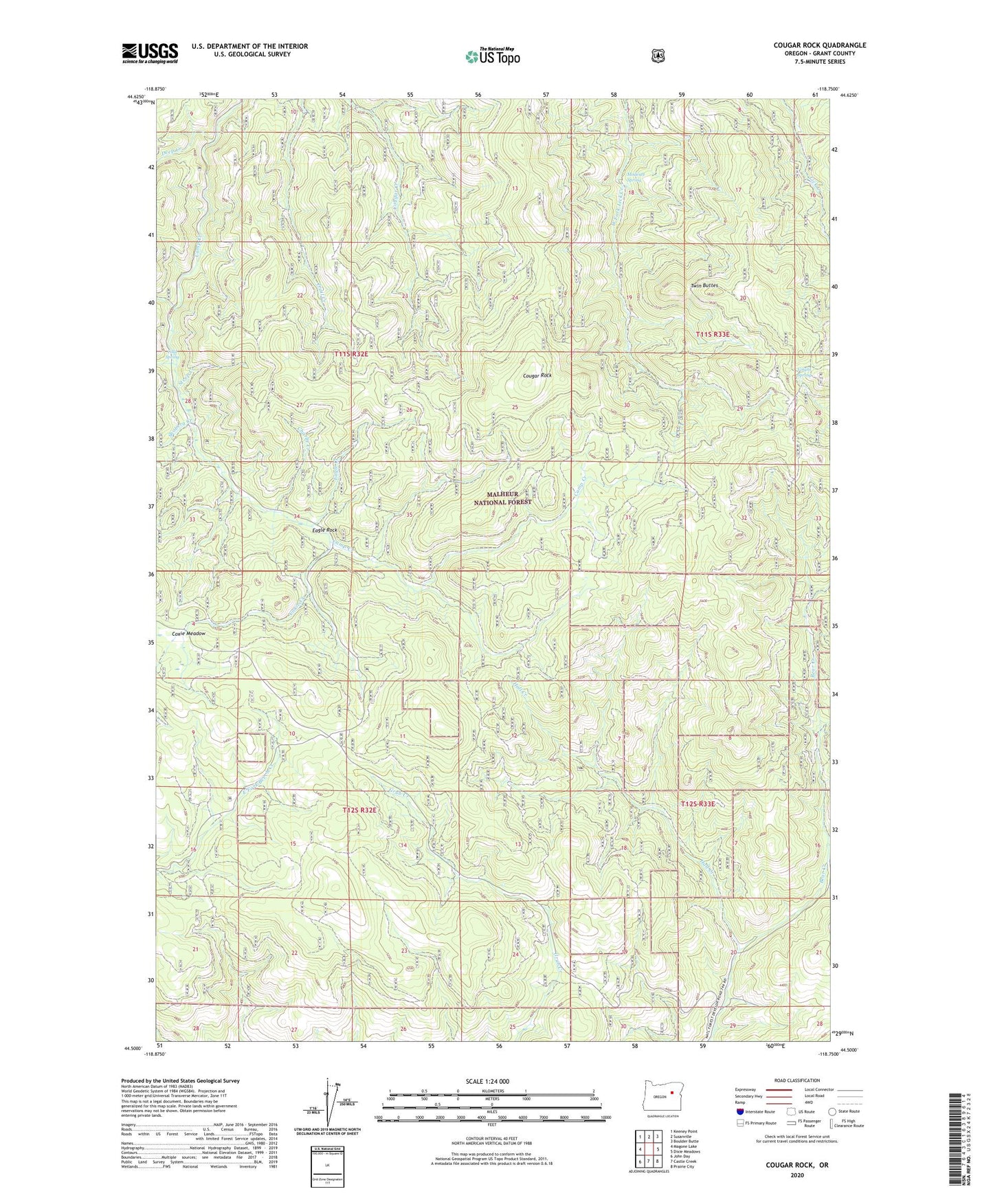
2020 topographic map quadrangle Cougar Rock in the state of Oregon. Scale: 1:24000. Based on the newly updated USGS 7.5' US Topo map series, this map is in the following counties: Grant. The map contains contour data, water features, and other items you are used to seeing on USGS maps, but also has updated roads and other features. This is the next generation of topographic maps. Printed on high-quality waterproof paper with UV fade-resistant inks.
Quads adjacent to this one:
West: Magone Lake
Northwest: Keeney Point
North: Susanville
Northeast: Boulder Butte
East: Dixie Meadows
Southeast: Prairie City
South: Castle Creek
Southwest: John Day
Contains the following named places: Big Rock Creek, Charlie Creek, Cold Spring, Cougar Rock, Coxie Creek, Coxie Meadow, Davis Trail, Deep Creek, Eagle Creek, Eagle Rock, Four Corners, Hall Creek, Little Trail Creek, Modesty Spring, Shoberg Creek, Steep Creek, Twin Buttes, Voight Spring