MyTopo
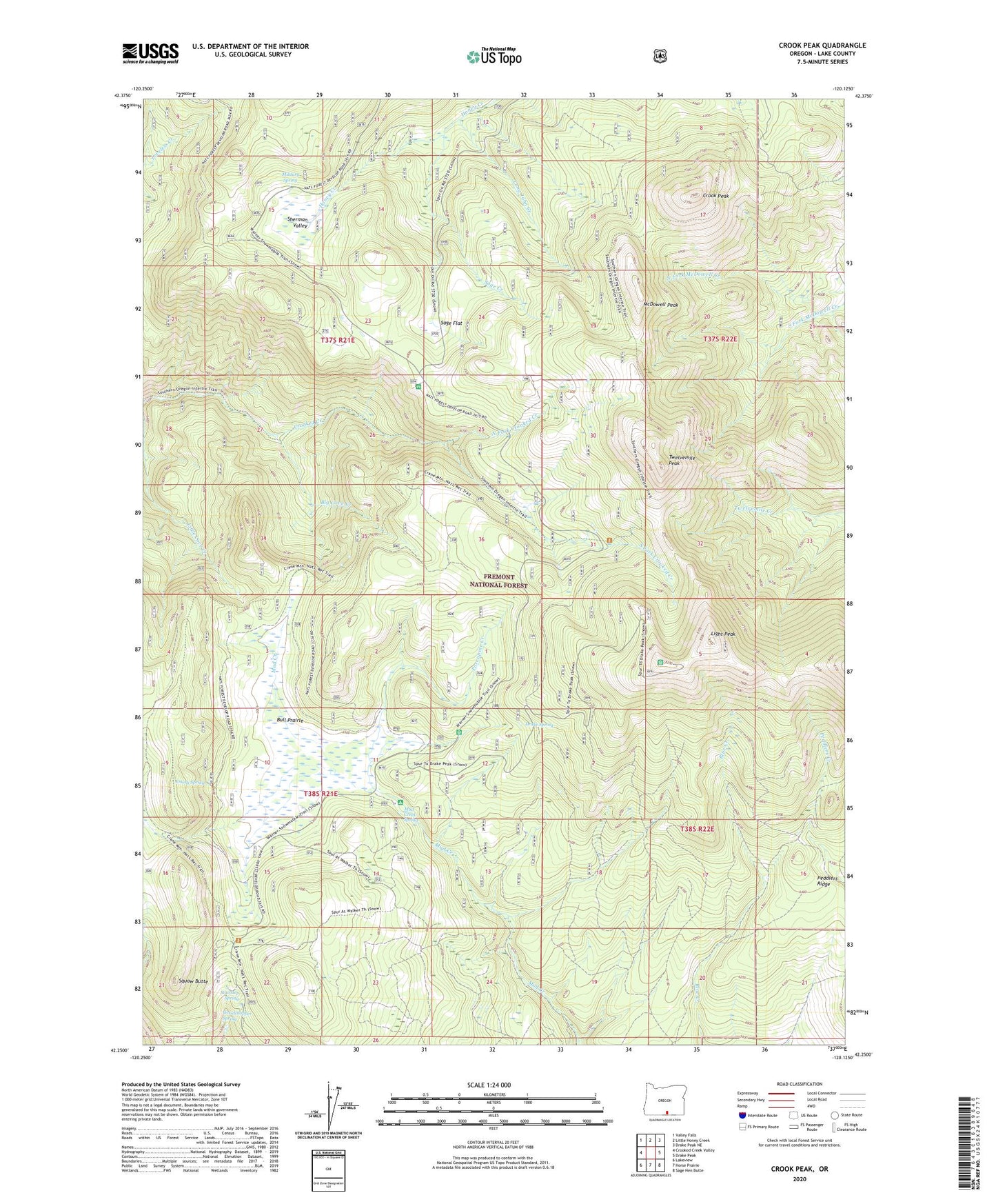
Crook Peak Oregon US Topo Map
Couldn't load pickup availability
Also explore the Crook Peak Forest Service Topo of this same quad for updated USFS data
2023 topographic map quadrangle Crook Peak in the state of Oregon. Scale: 1:24000. Based on the newly updated USGS 7.5' US Topo map series, this map is in the following counties: Lake. The map contains contour data, water features, and other items you are used to seeing on USGS maps, but also has updated roads and other features. This is the next generation of topographic maps. Printed on high-quality waterproof paper with UV fade-resistant inks.
Quads adjacent to this one:
West: Crooked Creek Valley
Northwest: Valley Falls
North: Little Honey Creek
Northeast: Drake Peak NE
East: Drake Peak
Southeast: Sage Hen Butte
South: Horse Prairie
Southwest: Lakeview
This map covers the same area as the classic USGS quad with code o42120c2.
Contains the following named places: Aspen Cabin, Aspen Cabin Recreation Site, Big Cove Creek, Bull Prairie, Crook Peak, Drake Peak Lookout, Drake Spring, Emery Spring, Light Peak, Long John Creek, McDowell Peak, Middle Fork Crooked Creek, Military Spring, Mud Creek Recreation Site, Mud Creek Spring, North Fork Crooked Creek, North Warner Viewpoint, Overton Reservoir Recreation Site, Peddlers Ridge, Porcupine Creek, Sage Creek, Sage Flat, Sherman Valley, South Fork Crooked Creek, South Fork Crooked Creek Horse Camp, Squaw Butte, Stairstep Spring, Twelvemile Peak, Walker Trailhead, Woodchopper Spring