MyTopo
Days Creek Oregon US Topo Map
Couldn't load pickup availability
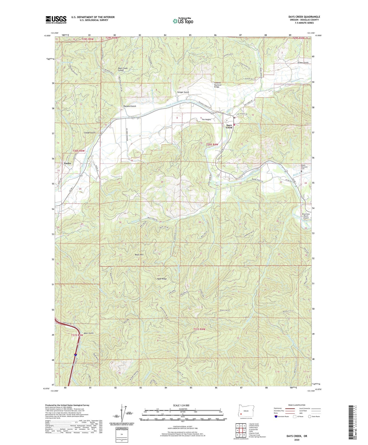
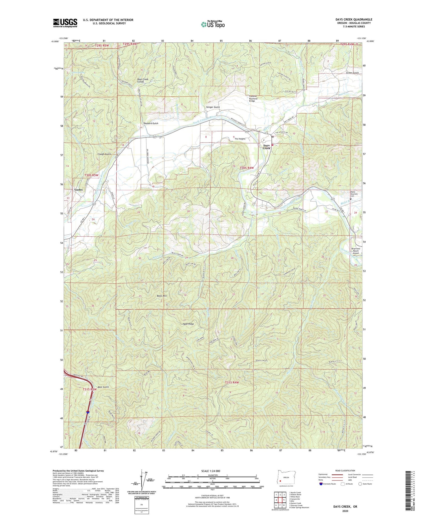
2020 topographic map quadrangle Days Creek in the state of Oregon. Scale: 1:24000. Based on the newly updated USGS 7.5' US Topo map series, this map is in the following counties: Douglas. The map contains contour data, water features, and other items you are used to seeing on USGS maps, but also has updated roads and other features. This is the next generation of topographic maps. Printed on high-quality waterproof paper with UV fade-resistant inks.
Quads adjacent to this one:
West: Canyonville
Northwest: Myrtle Creek
North: Dodson Butte
Northeast: White Rock
East: Milo
Southeast: Cedar Springs Mountain
South: Starvout Creek
Southwest: Quines Creek
Contains the following named places: Beals Creek, Beals Mountain, Bear Gulch, Beckworth Creek, Bland Branch, Bland Mountain Cemetery, Boomer Hill Boat Launch, Canyon Creek Forest State Park, Caroline Raymond Bridge, Clough Gulch, Days Creek, Days Creek Census Designated Place, Days Creek Charter School, Days Creek Cutoff, Days Creek Fire Department, Days Creek Post Office, Dietch Creek, East Fork Shively Creek, Gazley, Gazley Post Office, Green Gulch, Hammon Creek, Hyde Ridge, Kennedy Creek, Morgan Creek, Packard Gulch, Porter Creek, Shively Creek, Slimwater Creek, Spring Creek, Stinger Gulch, Sweat Creek, The Heights, Turkey Creek, Weaver Creek, Willow Spring, Wood Creek, ZIP Code: 97417