MyTopo
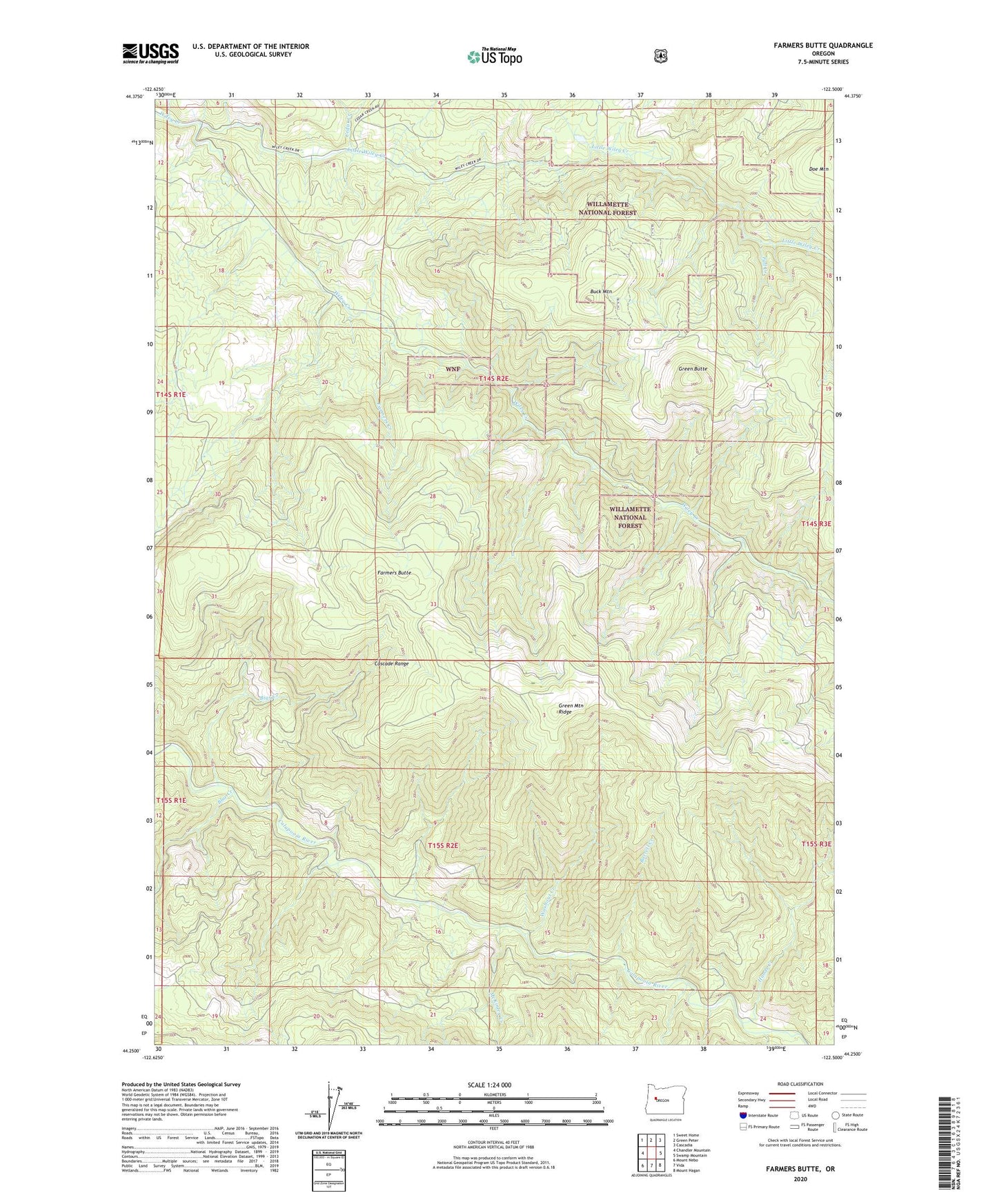
Farmers Butte Oregon US Topo Map
Couldn't load pickup availability
Also explore the Farmers Butte Forest Service Topo of this same quad for updated USFS data
2024 topographic map quadrangle Farmers Butte in the state of Oregon. Scale: 1:24000. Based on the newly updated USGS 7.5' US Topo map series, this map is in the following counties: Linn, Lane. The map contains contour data, water features, and other items you are used to seeing on USGS maps, but also has updated roads and other features. This is the next generation of topographic maps. Printed on high-quality waterproof paper with UV fade-resistant inks.
Quads adjacent to this one:
West: Chandler Mountain
Northwest: Sweet Home
North: Green Peter
Northeast: Cascadia
East: Swamp Mountain
Southeast: Mount Hagan
South: Vida
Southwest: Mount Nebo
This map covers the same area as the classic USGS quad with code o44122c5.
Contains the following named places: Barrett Creek, Bigs Creek, Blue Creek, Buck Mountain, Cedar Creek, DeArmond Park, Doe Mountain, Fall Creek, Farmers Butte, Farmers Creek, Green Butte, Green Mountain Ridge, Hands Creek, Little Wiley Creek, McKinley Creek, Washout Creek