MyTopo
Flag Point Oregon US Topo Map
Couldn't load pickup availability
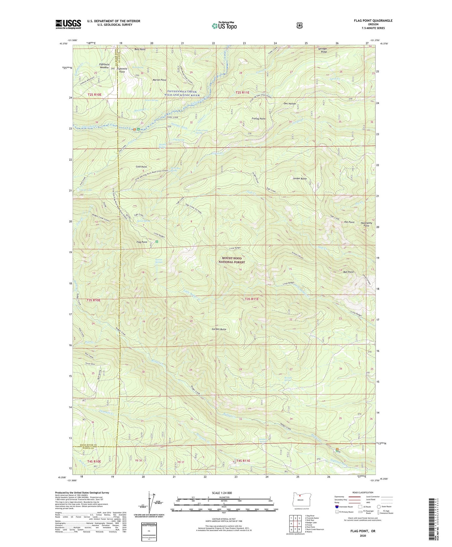
2020 topographic map quadrangle Flag Point in the state of Oregon. Scale: 1:24000. Based on the newly updated USGS 7.5' US Topo map series, this map is in the following counties: Wasco, Hood River. The map contains contour data, water features, and other items you are used to seeing on USGS maps, but also has updated roads and other features. This is the next generation of topographic maps. Printed on high-quality waterproof paper with UV fade-resistant inks.
Quads adjacent to this one:
West: Badger Lake
Northwest: Dog River
North: Fivemile Butte
Northeast: Wolf Run
East: Friend
Southeast: Wamic
South: Rock Creek Reservoir
Southwest: Post Point
Contains the following named places: Badger Creek Trail, Badger Creek Wilderness, Ball Point, Ball Point Trail, Bennett Spring, Bird Spring, Bonney Crossing, Bonney Crossing Recreation Site, Bulo Point, Camp Friend, Cedar Creek Spring, Cold Point, Cold Spring, Denest Spring, Drop Creek, Eightmile Meadow, Eightmile Point, Fifteen Mile Recreation Site, Flag Point, Frailey Point, Frailey Point Trail, Fret Creek, Goat Creek, Gordon Butte, Gordon Butte Trail, Hootnanny Point, Jordan Butte, Jordan Cutoff Trail, Little Badger Creek Trail, Marion Creek, Marion Point, Oval Lake, Owl Quarry, Pen Point, Pen Way Trail, Pine Creek, Shadley Spring, Springer Ditch, Springer Ridge, Steeds Crossing, Stockton Spring, Sunrise Springs, Sunset Spring, Three Bear Spring, Threemile Trail, Tygh Creek Trail