MyTopo
Forked Horn Butte Oregon US Topo Map
Couldn't load pickup availability
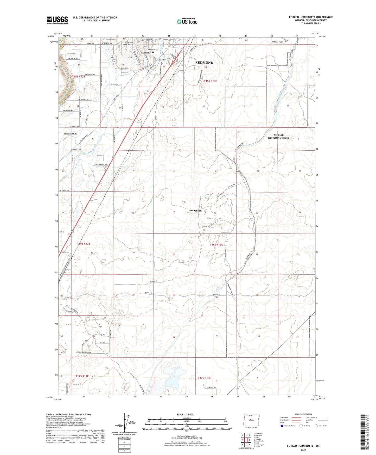
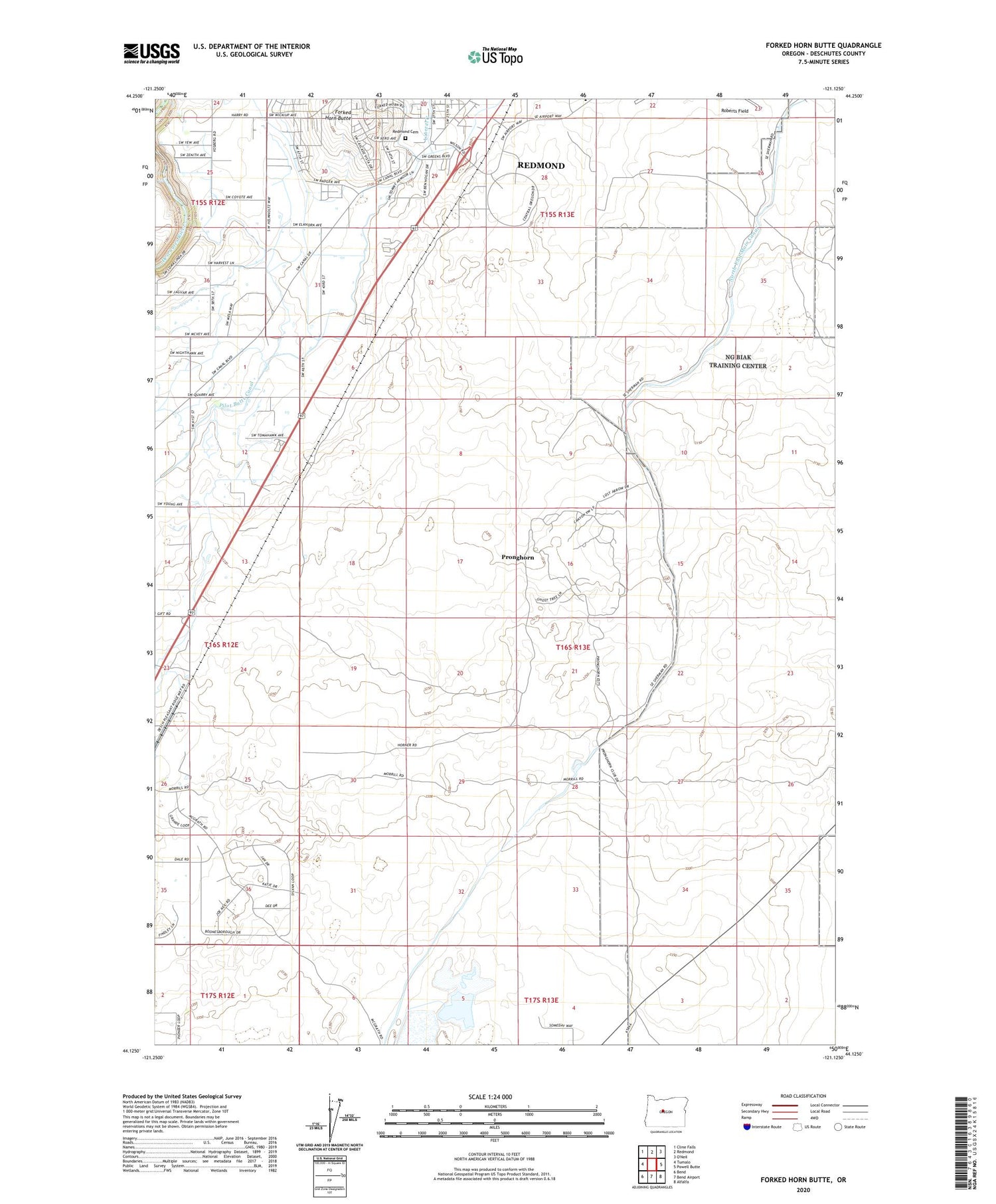
2020 topographic map quadrangle Forked Horn Butte in the state of Oregon. Scale: 1:24000. Based on the newly updated USGS 7.5' US Topo map series, this map is in the following counties: Deschutes. The map contains contour data, water features, and other items you are used to seeing on USGS maps, but also has updated roads and other features. This is the next generation of topographic maps. Printed on high-quality waterproof paper with UV fade-resistant inks.
Quads adjacent to this one:
West: Tumalo
Northwest: Cline Falls
North: Redmond
East: Powell Butte
Southeast: Alfalfa
South: Bend Airport
Southwest: Bend
Contains the following named places: Deschutes County Fairgrounds, Forked Horn Butte, Hensley, Hooker Creek Event Center, Juniper Arena, Lateral B, Pilot Butte Canal, Pronghorn Census Designated Place, Redmond Cemetery, Redmond Pumping Plant, Redmond-Bend Juniper State Park, Sagebrush Arena, Three Sisters Conference Center