MyTopo
Foster Butte Oregon US Topo Map
Couldn't load pickup availability
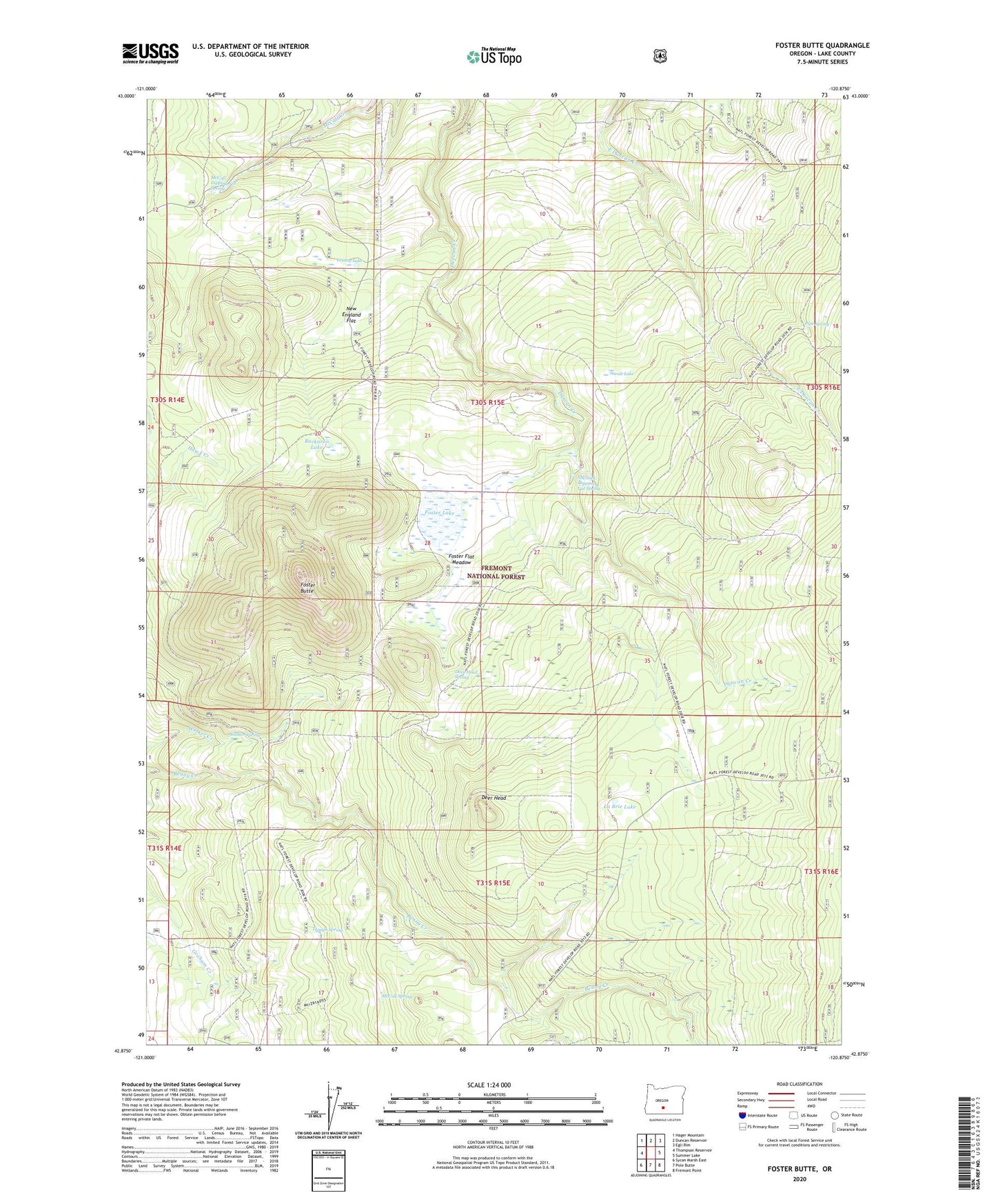
2020 topographic map quadrangle Foster Butte in the state of Oregon. Scale: 1:24000. Based on the newly updated USGS 7.5' US Topo map series, this map is in the following counties: Lake. The map contains contour data, water features, and other items you are used to seeing on USGS maps, but also has updated roads and other features. This is the next generation of topographic maps. Printed on high-quality waterproof paper with UV fade-resistant inks.
Quads adjacent to this one:
West: Thompson Reservoir
Northwest: Hager Mountain
North: Duncan Reservoir
Northeast: Egli Rim
East: Summer Lake
Southeast: Fremont Point
South: Pole Butte
Southwest: Sycan Marsh East
Contains the following named places: Buckaroo Lake, Deer Head, Deer Head Spring, Foster Butte, Foster Flat Meadow, Foster Lake, Grassy Lake, La Brie Lake, McCall Dipping Vat Spring, McCall Spring, New England Flat, Pipe Spring, Sarah Lake, Sherlock Dipping Vat Spring, Trough Spring, Welker Spring