MyTopo
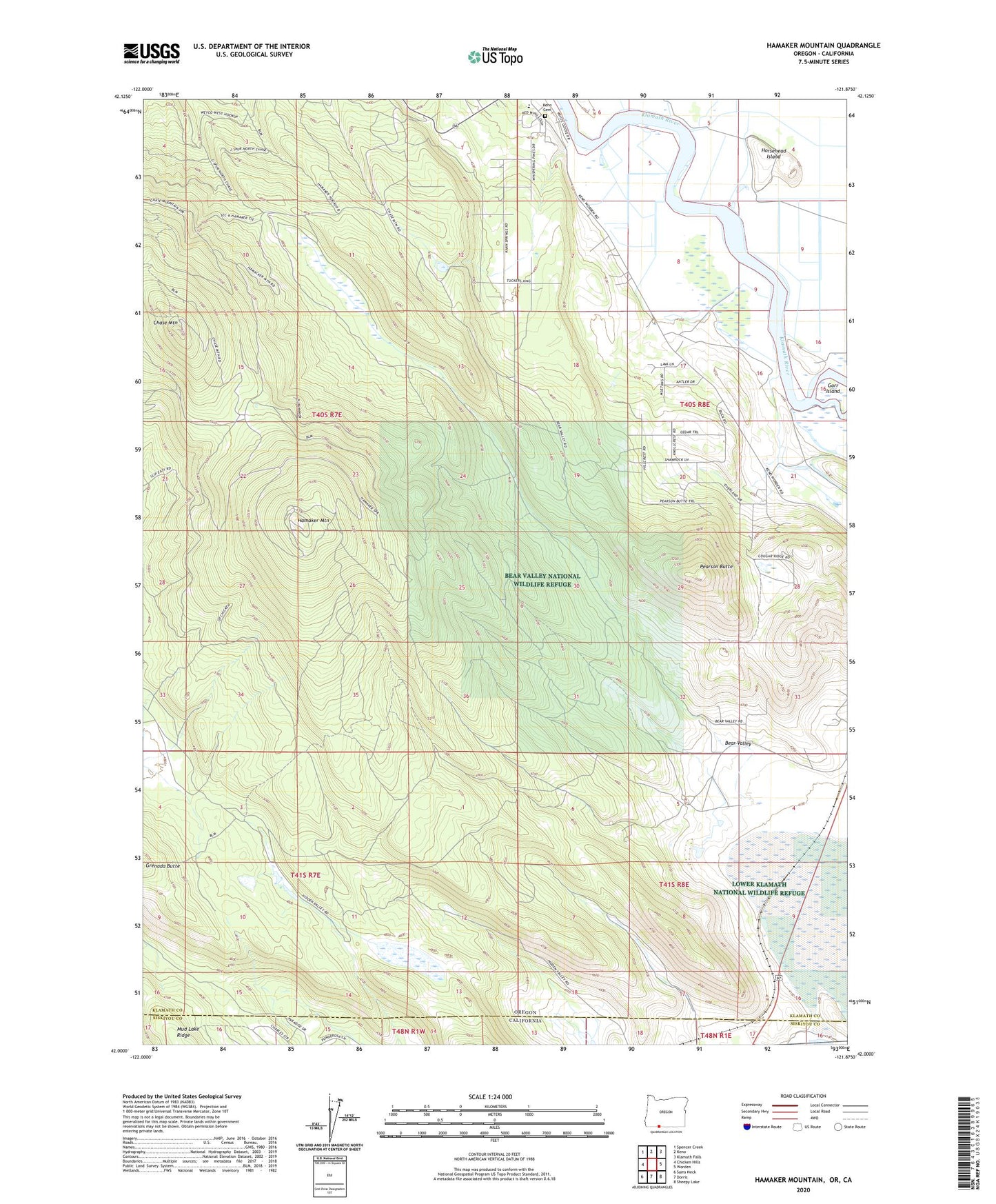
Hamaker Mountain Oregon US Topo Map
Couldn't load pickup availability
Also explore the Hamaker Mountain Forest Service Topo of this same quad for updated USFS data
2023 topographic map quadrangle Hamaker Mountain in the state of Oregon. Scale: 1:24000. Based on the newly updated USGS 7.5' US Topo map series, this map is in the following counties: Klamath, Siskiyou. The map contains contour data, water features, and other items you are used to seeing on USGS maps, but also has updated roads and other features. This is the next generation of topographic maps. Printed on high-quality waterproof paper with UV fade-resistant inks.
Quads adjacent to this one:
West: Chicken Hills
Northwest: Spencer Creek
North: Keno
Northeast: Klamath Falls
East: Worden
Southeast: Sheepy Lake
South: Dorris
Southwest: Sams Neck
This map covers the same area as the classic USGS quad with code o42121a8.
Contains the following named places: Bear Valley, Bear Valley National Wildlife Refuge, Calor, Chase Mountain, Gorr Island, Hamaker Mountain, Horsehead Island, Ivan, Ivan Post Office, Keno Cemetery, Keno Elementary School, Pearson Butte, Teeters Landing