MyTopo
Spencer Creek Oregon US Topo Map
Couldn't load pickup availability
Also explore the Spencer Creek Forest Service Topo of this same quad for updated USFS data
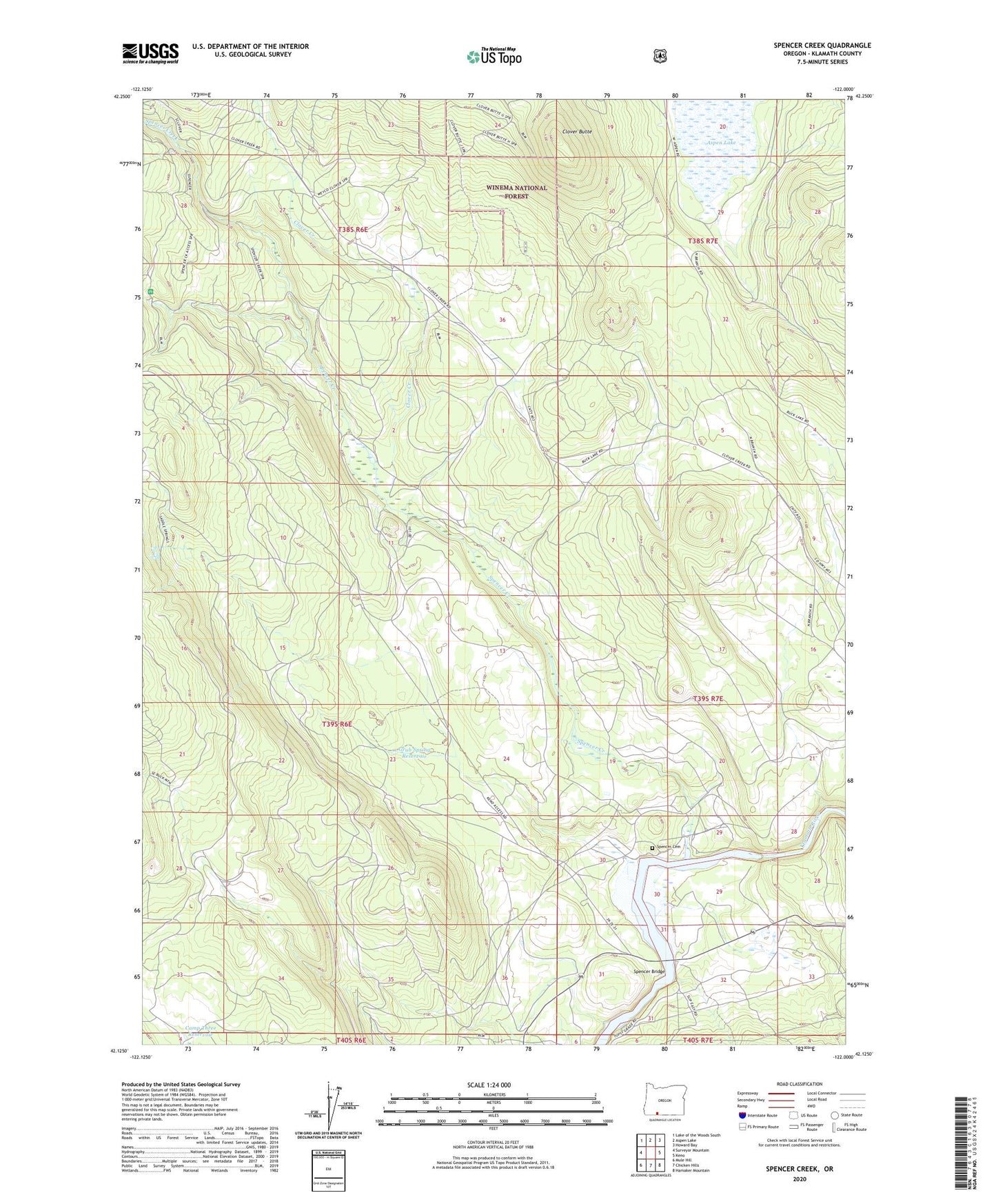
2024 topographic map quadrangle Spencer Creek in the state of Oregon. Scale: 1:24000. Based on the newly updated USGS 7.5' US Topo map series, this map is in the following counties: Klamath. The map contains contour data, water features, and other items you are used to seeing on USGS maps, but also has updated roads and other features. This is the next generation of topographic maps. Printed on high-quality waterproof paper with UV fade-resistant inks.
Quads adjacent to this one:
West: Surveyor Mountain
Northwest: Lake of the Woods South
North: Aspen Lake
Northeast: Howard Bay
East: Keno
Southeast: Hamaker Mountain
South: Chicken Hills
Southwest: Mule Hill
This map covers the same area as the classic USGS quad with code o42122b1.
Contains the following named places: Camp Day, Camp Sa-wa-li-na-is, Camp Three Reservoir, Chase, Clover Butte, Clover Creek, Clover Station, Forest, Forest Post Office, Grub Spring Reservoir, John C Boyle Reservoir, Klamath River Recreation Site, McCollum, Pioneer Park Boat Ramp, Spencer Bridge, Spencer Cemetery, Spencer Creek, ZIP Code: 97627