MyTopo
Hardin Ranch Oregon US Topo Map
Couldn't load pickup availability
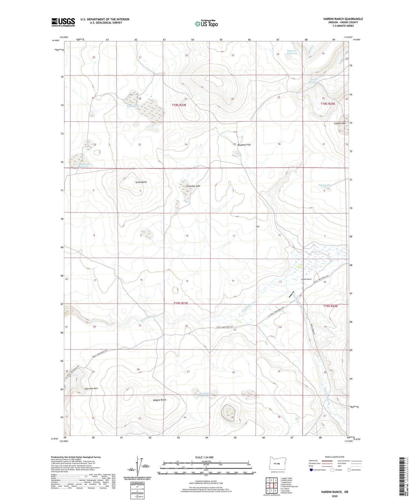
2024 topographic map quadrangle Hardin Ranch in the state of Oregon. Scale: 1:24000. Based on the newly updated USGS 7.5' US Topo map series, this map is in the following counties: Crook. The map contains contour data, water features, and other items you are used to seeing on USGS maps, but also has updated roads and other features. This is the next generation of topographic maps. Printed on high-quality waterproof paper with UV fade-resistant inks.
Quads adjacent to this one:
West: Sand Hollow
Northwest: Liggett Table
North: Maupin Butte
Northeast: Angell Butte
East: Twelvemile Reservoir
Southeast: Mackey Butte
South: Ibex Butte
Southwest: G I Ranch
This map covers the same area as the classic USGS quad with code o43119h8.
Contains the following named places: Boston Sink, Coffee Lake, Eowyn Reservoir, Grass Butte, Hardin Ranch, Jake Lakes, Little Lake Waterhole, Long Hollow Creek, Long Hollow Dam, Long Hollow Reservoir, Magpie Butte, Muhly Lake, Norcross Creek, Old Lakebed Waterhole, Porkchop Lake, Ryegrass Reservoir, Sandy Lake, Sherman Rim, Soda Lake, Speck Lake, Thumbtack Reservoir, Twelvemile Dam, Twelvemile Reservoir, Westlake Waterhole, Windmill Flat