MyTopo
Hicks Spring Oregon US Topo Map
Couldn't load pickup availability
Also explore the Hicks Spring Forest Service Topo of this same quad for updated USFS data
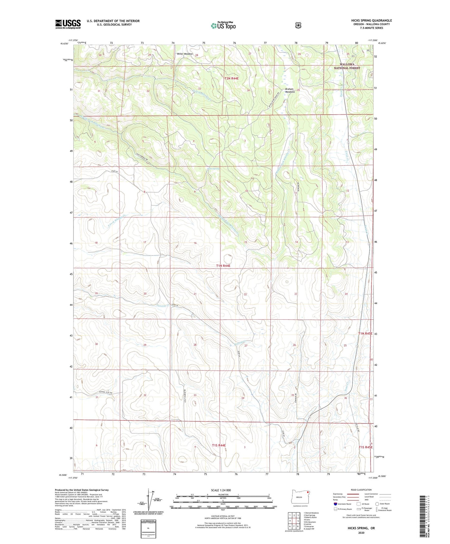
2023 topographic map quadrangle Hicks Spring in the state of Oregon. Scale: 1:24000. Based on the newly updated USGS 7.5' US Topo map series, this map is in the following counties: Wallowa. The map contains contour data, water features, and other items you are used to seeing on USGS maps, but also has updated roads and other features. This is the next generation of topographic maps. Printed on high-quality waterproof paper with UV fade-resistant inks.
Quads adjacent to this one:
West: Evans
Northwest: Sherod Meadows
North: Sled Springs
Northeast: Roberts Butte
East: Elk Mountain
Southeast: Joseph NW
South: Enterprise
Southwest: Lostine
This map covers the same area as the classic USGS quad with code o45117e3.
Contains the following named places: Braham Meadows, Hicks Spring, Leap Post Office, Miller Meadow, Teepy Springs Post Office, Tepee Springs