MyTopo
Hughet Spring Oregon US Topo Map
Couldn't load pickup availability
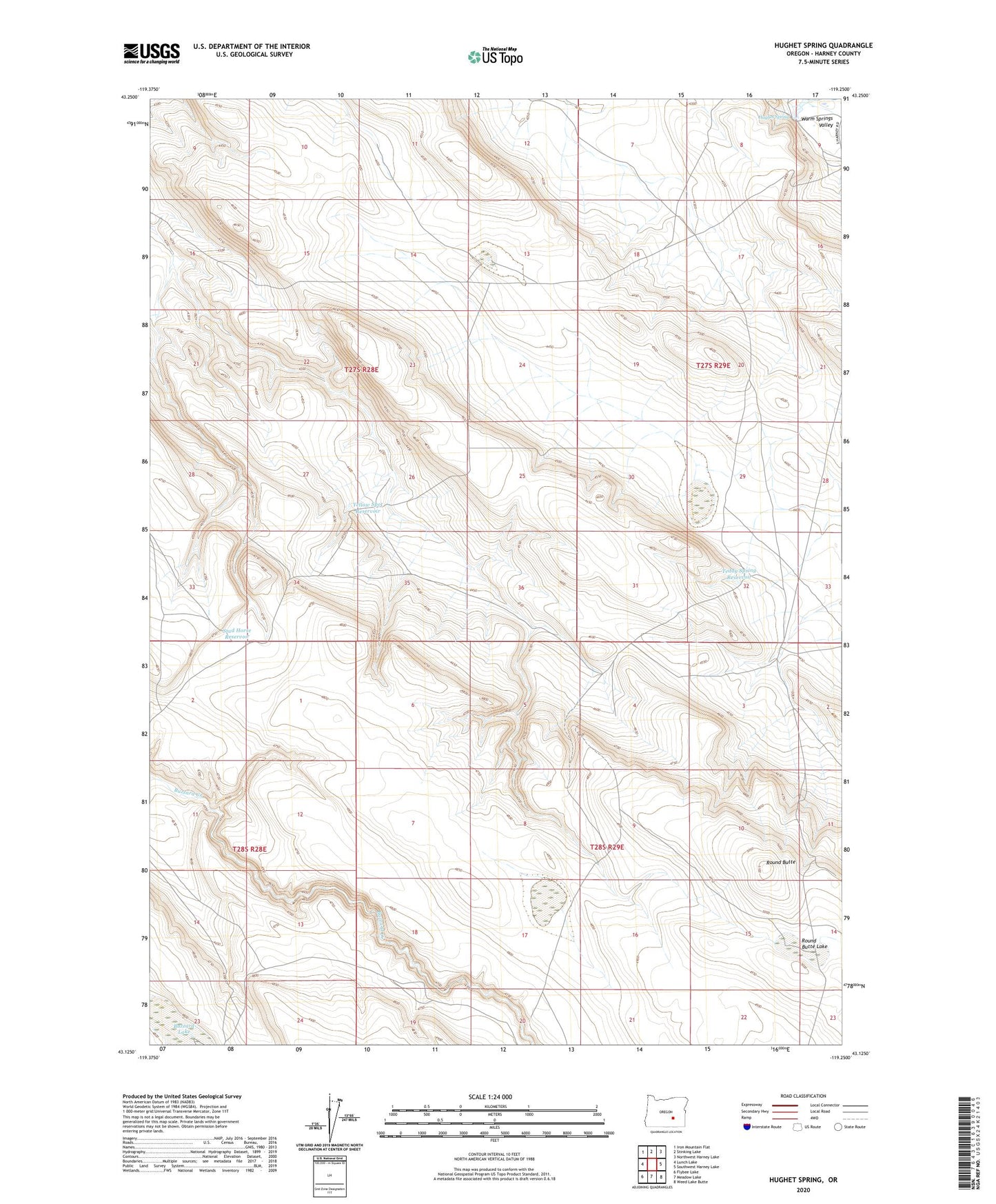
2023 topographic map quadrangle Hughet Spring in the state of Oregon. Scale: 1:24000. Based on the newly updated USGS 7.5' US Topo map series, this map is in the following counties: Harney. The map contains contour data, water features, and other items you are used to seeing on USGS maps, but also has updated roads and other features. This is the next generation of topographic maps. Printed on high-quality waterproof paper with UV fade-resistant inks.
Quads adjacent to this one:
West: Lunch Lake
Northwest: Iron Mountain Flat
North: Stinking Lake
Northeast: Northwest Harney Lake
East: Southwest Harney Lake
Southeast: Weed Lake Butte
South: Meadow Lake
Southwest: Flybee Lake
This map covers the same area as the classic USGS quad with code o43119b3.
Contains the following named places: Buzzard Lake, Hughet Spring, Round Butte, Round Butte Lake, Stud Horse Reservoir, Teddy Spring Reservoir, Yellow Spot Reservoir, Yellow Spot Well