MyTopo
Ione South Oregon US Topo Map
Couldn't load pickup availability
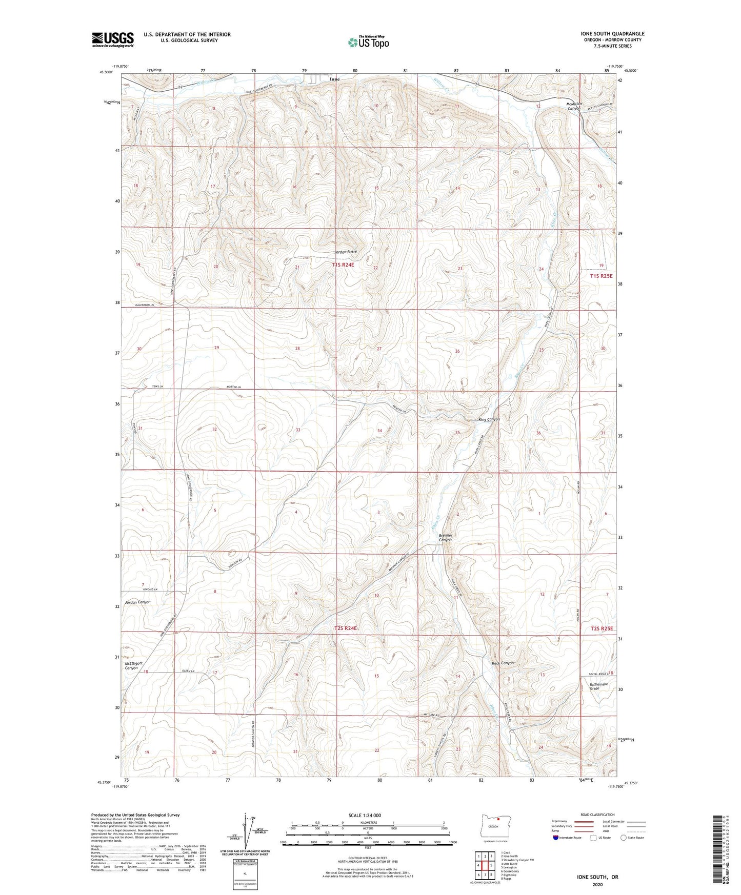
2023 topographic map quadrangle Ione South in the state of Oregon. Scale: 1:24000. Based on the newly updated USGS 7.5' US Topo map series, this map is in the following counties: Morrow. The map contains contour data, water features, and other items you are used to seeing on USGS maps, but also has updated roads and other features. This is the next generation of topographic maps. Printed on high-quality waterproof paper with UV fade-resistant inks.
Quads adjacent to this one:
West: Utts Butte
Northwest: Cecil
North: Ione North
Northeast: Strawberry Canyon SW
East: Lexington
Southeast: Ruggs
South: Eightmile
Southwest: Gooseberry
This map covers the same area as the classic USGS quad with code o45119d7.
Contains the following named places: Brenner Canyon, Compressor Station Number 9, Fairview, Ione Community Charter School, Jordan, Jordan Butte, Keck Canyon, King Canyon, McMillan Canyon, Rhea Creek, Willow Forks Post Office