MyTopo
Ruggs Oregon US Topo Map
Couldn't load pickup availability
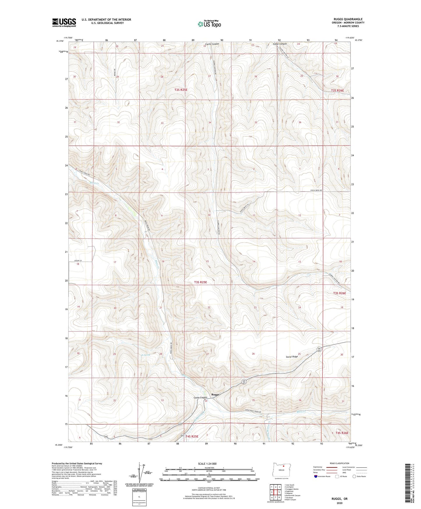
2024 topographic map quadrangle Ruggs in the state of Oregon. Scale: 1:24000. Based on the newly updated USGS 7.5' US Topo map series, this map is in the following counties: Morrow. The map contains contour data, water features, and other items you are used to seeing on USGS maps, but also has updated roads and other features. This is the next generation of topographic maps. Printed on high-quality waterproof paper with UV fade-resistant inks.
Quads adjacent to this one:
West: Eightmile
Northwest: Ione South
North: Lexington
Northeast: Swaggart Buttes
East: Heppner
Southeast: Balm Canyon
South: Hardman
Southwest: Buttermilk Canyon
This map covers the same area as the classic USGS quad with code o45119c6.
Contains the following named places: Als Spring, Cason Canyon, Hay Creek, McKinney Creek, Midway Post Office, Rhea Creek Grange, Ruggs, Social Ridge, Spring Hollow Creek