MyTopo
King Mountain Oregon US Topo Map
Couldn't load pickup availability
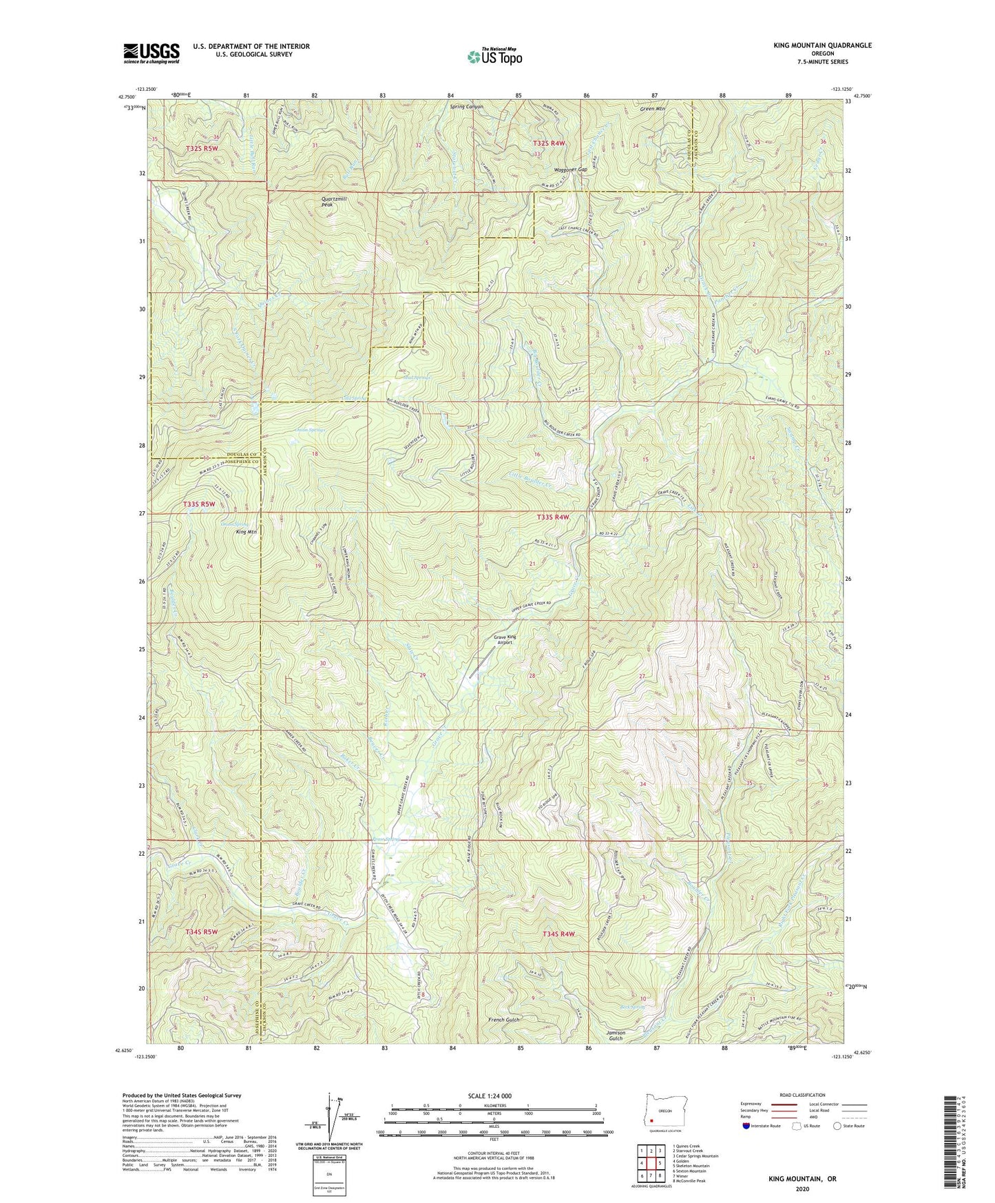
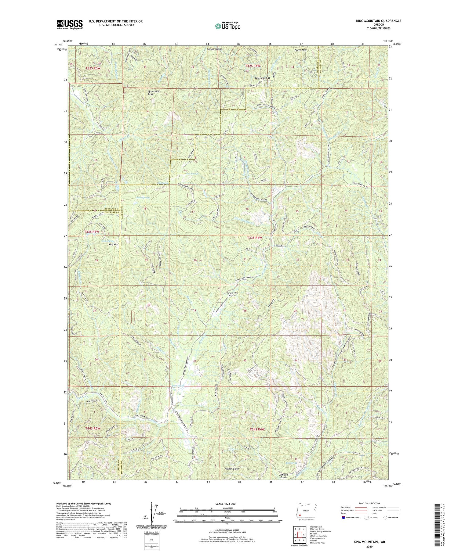
2020 topographic map quadrangle King Mountain in the state of Oregon. Scale: 1:24000. Based on the newly updated USGS 7.5' US Topo map series, this map is in the following counties: Jackson, Douglas, Josephine. The map contains contour data, water features, and other items you are used to seeing on USGS maps, but also has updated roads and other features. This is the next generation of topographic maps. Printed on high-quality waterproof paper with UV fade-resistant inks.
Quads adjacent to this one:
West: Golden
Northwest: Quines Creek
North: Starvout Creek
Northeast: Cedar Springs Mountain
East: Skeleton Mountain
Southeast: McConville Peak
South: Wimer
Southwest: Sexton Mountain
Contains the following named places: A K Prairie, Baker Creek, Beaver Creek, Beck Spring, Big Boulder Creek, Boulder Creek, Clark Creek, Cold Spring, Grave King Airport, Hobbsford, Jamison Gulch, King Mountain, KOBI-TV, KSOR-FM, KSYS-TV, Last Chance Creek, Lick Creek, Little Boulder Creek, Mildred Mine, Miser Mine, Mud Springs, Onion Spring, Onion Springs, Panther Creek, Pease Spring, Quartzmill Mine, Quartzmill Peak, Right Fork Pleasant Creek, Roth Creek, Slate Creek, South Fork Quines Creek, Spring Canyon, Starvout Creek Mines, Waggoner Gap