MyTopo
Laurelwood Oregon US Topo Map
Couldn't load pickup availability
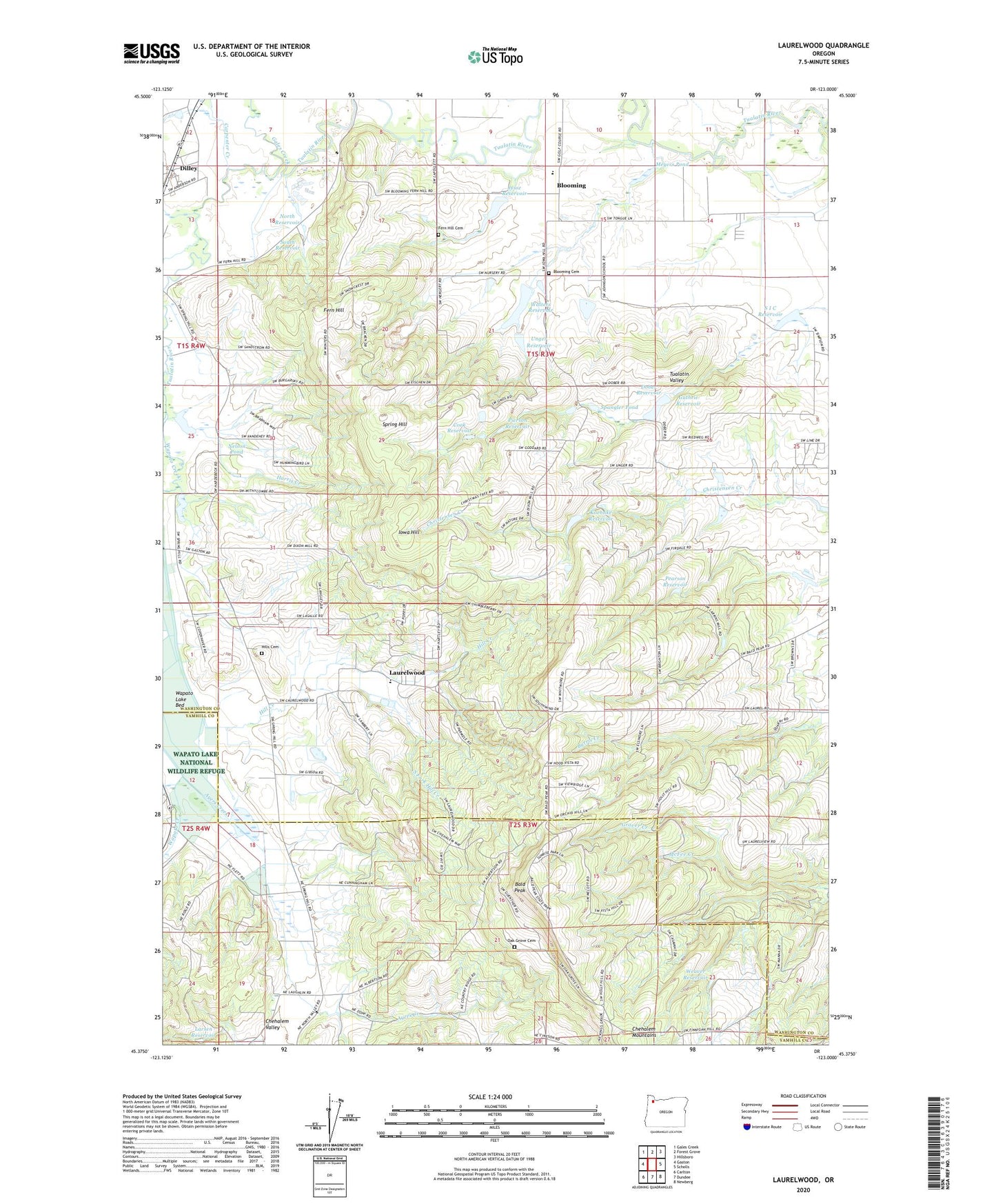
2024 topographic map quadrangle Laurelwood in the state of Oregon. Scale: 1:24000. Based on the newly updated USGS 7.5' US Topo map series, this map is in the following counties: Washington, Yamhill. The map contains contour data, water features, and other items you are used to seeing on USGS maps, but also has updated roads and other features. This is the next generation of topographic maps. Printed on high-quality waterproof paper with UV fade-resistant inks.
Quads adjacent to this one:
West: Gaston
Northwest: Gales Creek
North: Forest Grove
Northeast: Hillsboro
East: Scholls
Southeast: Newberg
South: Dundee
Southwest: Carlton
This map covers the same area as the classic USGS quad with code o45123d1.
Contains the following named places: Ayers Creek, Ayers Creek Farm, Bald Peak, Bald Peak State Park, Behrman Farms, Blooming, Blooming Cemetery, Blooming Nursery, Blooming Post Office, Carpenter Creek, Chehalem Mountains, Chehalem Mountains Division, Cook Reservoir, Copenhaven Farms Nursery, Crawford's Nursery, Dewey, Dewey Post Office, Dilley, Dilley Census Designated Place, Dilley Creek, Dilley Post Office, Dober Dam, Dober Reservoir, Fern Hill, Fern Hill Cemetery, Fisher Farms, Forest Hills Farms, Forest Hills Golf Course, Forest Hills Lutheran School, Gales Creek, Glenn Walters Dam, Graver Creek, Guthrie Reservoir, Halsey Memorial Park, Halsey Veterans Memorial Park, Harris Creek, Hergert Quarry, Hill School, Hills Cemetery, Hortons Reservoir, Iowa Hill, Iowa Hill Farms, Iowa Hill School, Jesse Reservoir, Joint Water Commission Water Treatment Plant, Ken Larsen Dam, Knox Farms, Koehnke Reservoir, Lake View School, Larsen Reservoir, Laurel Quarry, Laurelwood, Laurelwood Adventist Elementary School, Laurelwood Reservoir, Meyers Pond, Mountain Top School, Nelson Pond, North Reservoir, Oak Grove Cemetery, Ornoname 16 Dam, Pearson Dam, Pearson Reservoir, Pierson Dam, Pierson Reservoir, Roberts Post Office, S I C Reservoir, Saint Peter Lutheran Church, South Fork Hill Creek, South Reservoir, Spangler Pond, Spring Hill, Spring Hill School, Unger Dam, Unger Farms, Unger Reservoir, Walters Reservoir, Wapato, Wapato Creek, Wapato Lake Bed, Wapato Post Office, Weaver Reservoir, ZIP Code: 97113


