MyTopo
Loco Lake Oregon US Topo Map
Couldn't load pickup availability
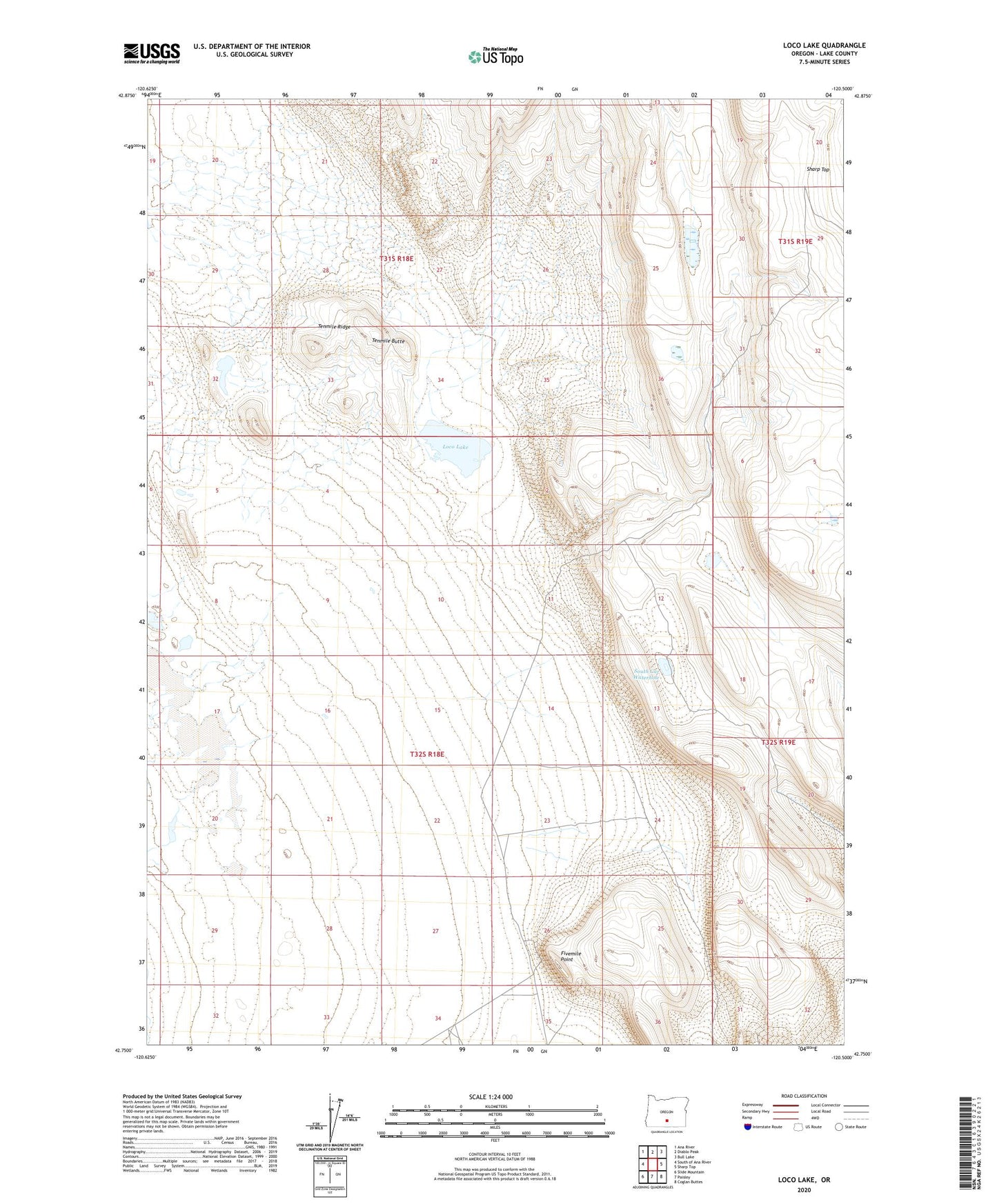
2020 topographic map quadrangle Loco Lake in the state of Oregon. Scale: 1:24000. Based on the newly updated USGS 7.5' US Topo map series, this map is in the following counties: Lake. The map contains contour data, water features, and other items you are used to seeing on USGS maps, but also has updated roads and other features. This is the next generation of topographic maps. Printed on high-quality waterproof paper with UV fade-resistant inks.
Quads adjacent to this one:
West: South of Ana River
Northwest: Ana River
North: Diablo Peak
Northeast: Bull Lake
East: Sharp Top
Southeast: Coglan Buttes
South: Paisley
Southwest: Slide Mountain
Contains the following named places: Bailey Waterhole, Fivemile Point, Loco Lake, South Cat Waterhole, Tenmile Butte, Tenmile Ridge