MyTopo
Malheur Lake East Oregon US Topo Map
Couldn't load pickup availability
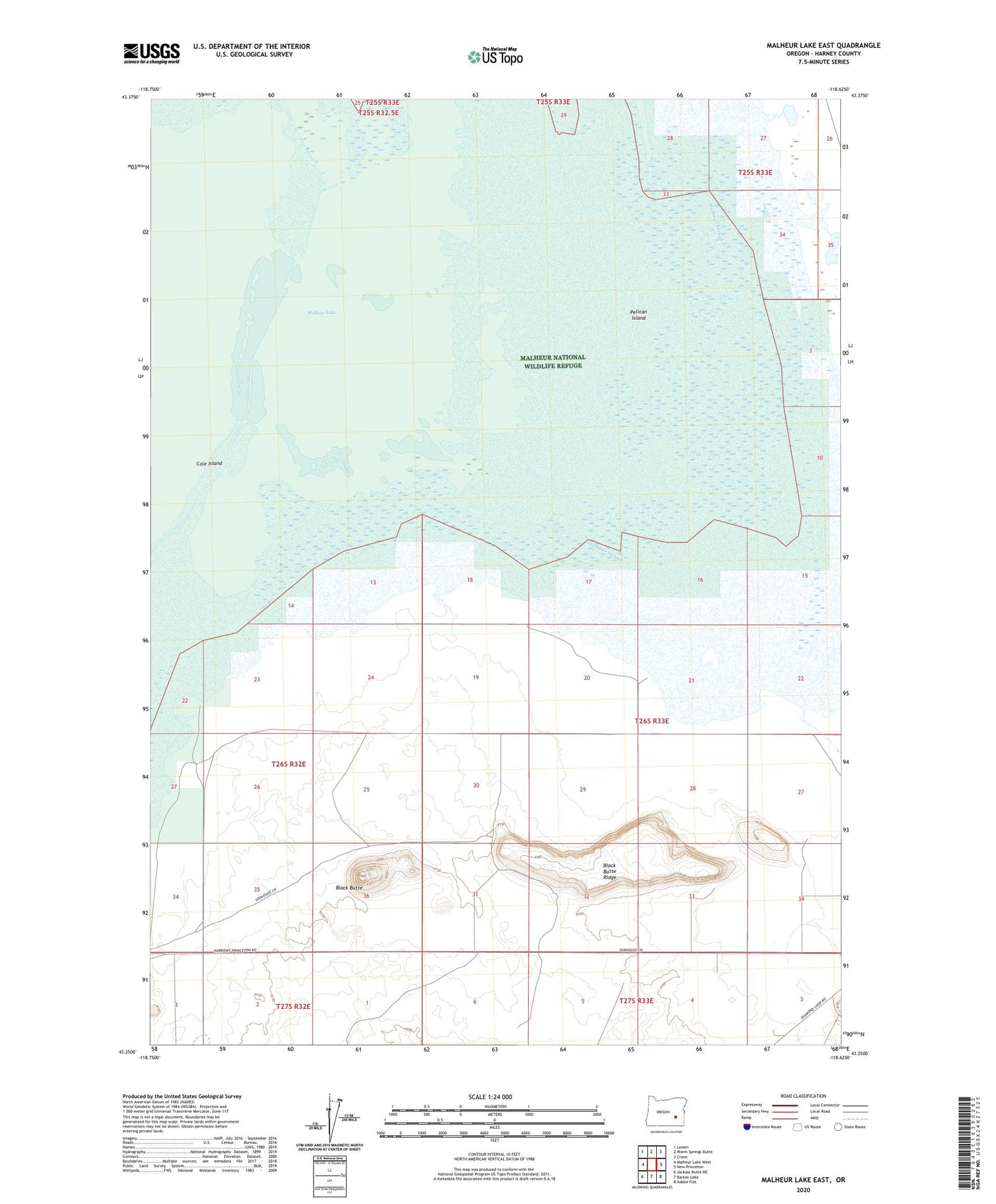
2024 topographic map quadrangle Malheur Lake East in the state of Oregon. Scale: 1:24000. Based on the newly updated USGS 7.5' US Topo map series, this map is in the following counties: Harney. The map contains contour data, water features, and other items you are used to seeing on USGS maps, but also has updated roads and other features. This is the next generation of topographic maps. Printed on high-quality waterproof paper with UV fade-resistant inks.
Quads adjacent to this one:
West: Malheur Lake West
Northwest: Lawen
North: Warm Springs Butte
Northeast: Crane
East: New Princeton
Southeast: Adobe Flat
South: Barton Lake
Southwest: Jackass Butte NE
This map covers the same area as the classic USGS quad with code o43118c6.
Contains the following named places: Black Butte, Black Butte Ridge, Davis Well, Merrick Well, Pelican Island