MyTopo
Malheur Lake West Oregon US Topo Map
Couldn't load pickup availability
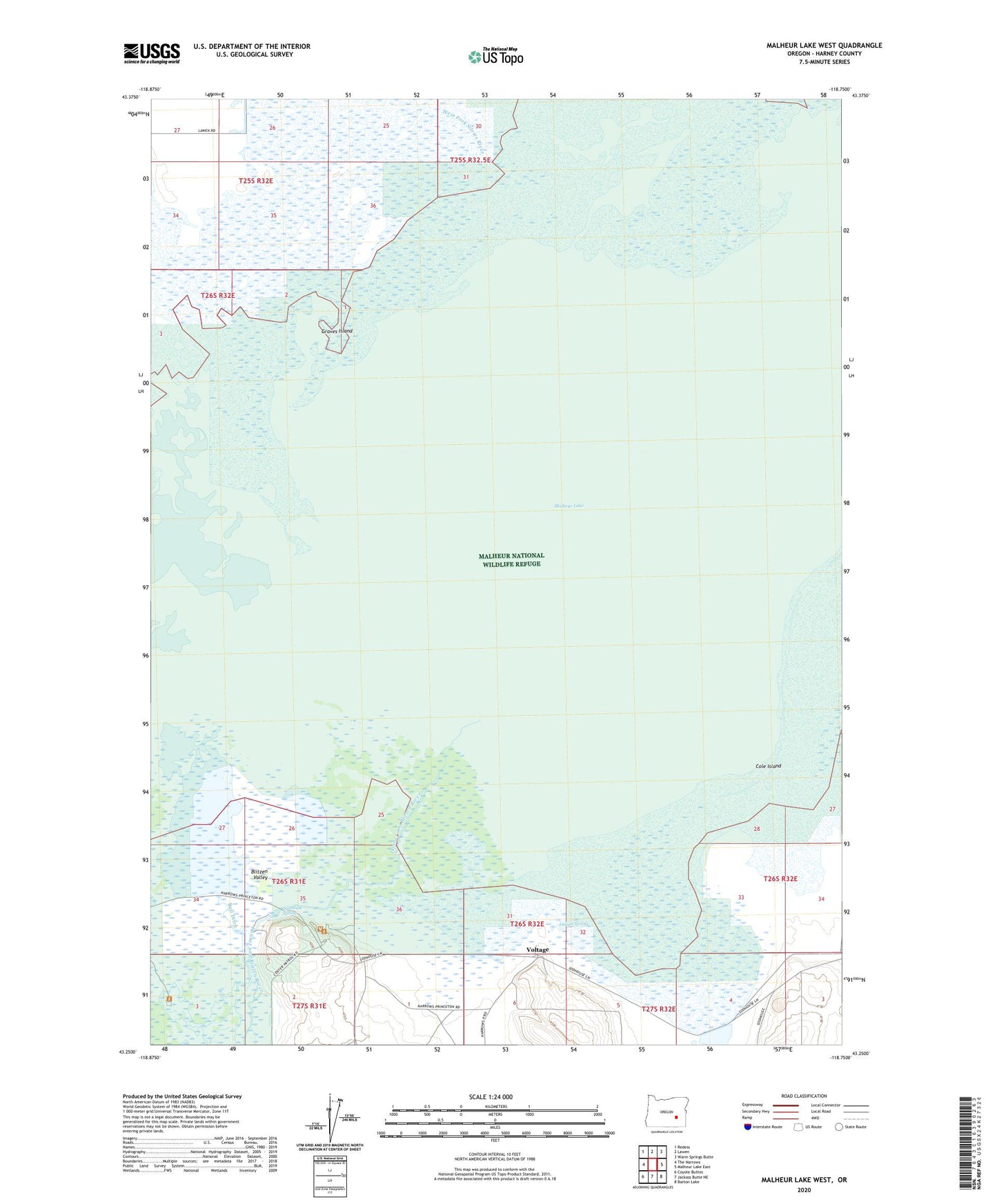
2023 topographic map quadrangle Malheur Lake West in the state of Oregon. Scale: 1:24000. Based on the newly updated USGS 7.5' US Topo map series, this map is in the following counties: Harney. The map contains contour data, water features, and other items you are used to seeing on USGS maps, but also has updated roads and other features. This is the next generation of topographic maps. Printed on high-quality waterproof paper with UV fade-resistant inks.
Quads adjacent to this one:
West: The Narrows
Northwest: Redess
North: Lawen
Northeast: Warm Springs Butte
East: Malheur Lake East
Southeast: Barton Lake
South: Jackass Butte NE
Southwest: Coyote Buttes
This map covers the same area as the classic USGS quad with code o43118c7.
Contains the following named places: Blitzen Valley, Bull Ditch, Campbell Ranch, Cole Island, Crows Nest Ranch, Donner und Blitzen River, Graves Island, Headquarters Malheur National Wildlife Refuge, Hills Ranch, Indian Spring, Malheur Lake, Sod House Ranch, Sod House School, Sodhouse, Sodhouse Spring, Voltage, Voltage Post Office