MyTopo
Mount Butler Oregon US Topo Map
Couldn't load pickup availability
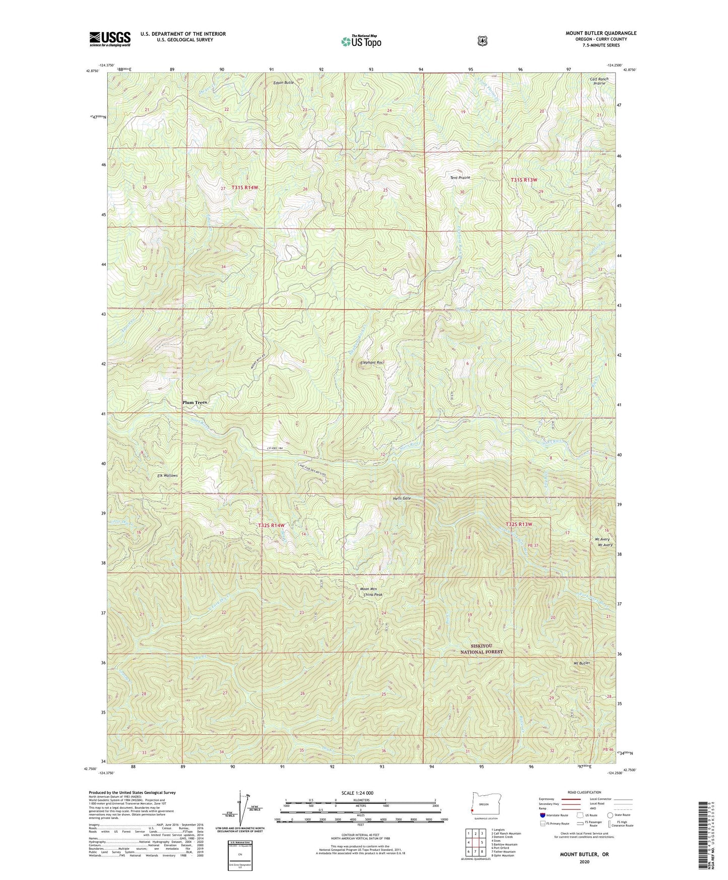
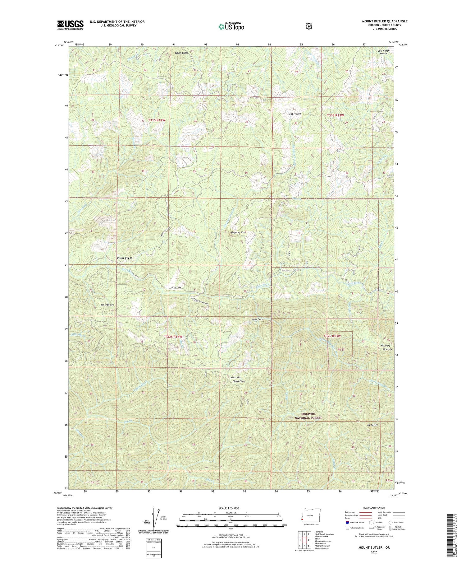
2020 topographic map quadrangle Mount Butler in the state of Oregon. Scale: 1:24000. Based on the newly updated USGS 7.5' US Topo map series, this map is in the following counties: Curry. The map contains contour data, water features, and other items you are used to seeing on USGS maps, but also has updated roads and other features. This is the next generation of topographic maps. Printed on high-quality waterproof paper with UV fade-resistant inks.
Quads adjacent to this one:
West: Sixes
Northwest: Langlois
North: Calf Ranch Mountain
Northeast: Dement Creek
East: Barklow Mountain
Southeast: Ophir Mountain
South: Father Mountain
Southwest: Port Orford
Contains the following named places: Bea Creek, Bee Creek, Big Creek, Brushy Prairies, China Peak, Double Prairie, Edson Butte, Elephant Rock, Elephant Rock Creek, Elk Wallows, Grassy Creek, Hells Gate, Hilltop Prairie, Inman Mine, Lily B Creek, Moon Mountain, Mount Avery, Mount Butler, North Fork Dry Creek, Otter Creek, Plum Trees, Sixes River Recreation Site, South Fork Sixes River, Taylor Ranch, Tent Prairie, Wilson Prairie, ZIP Code: 97465