MyTopo
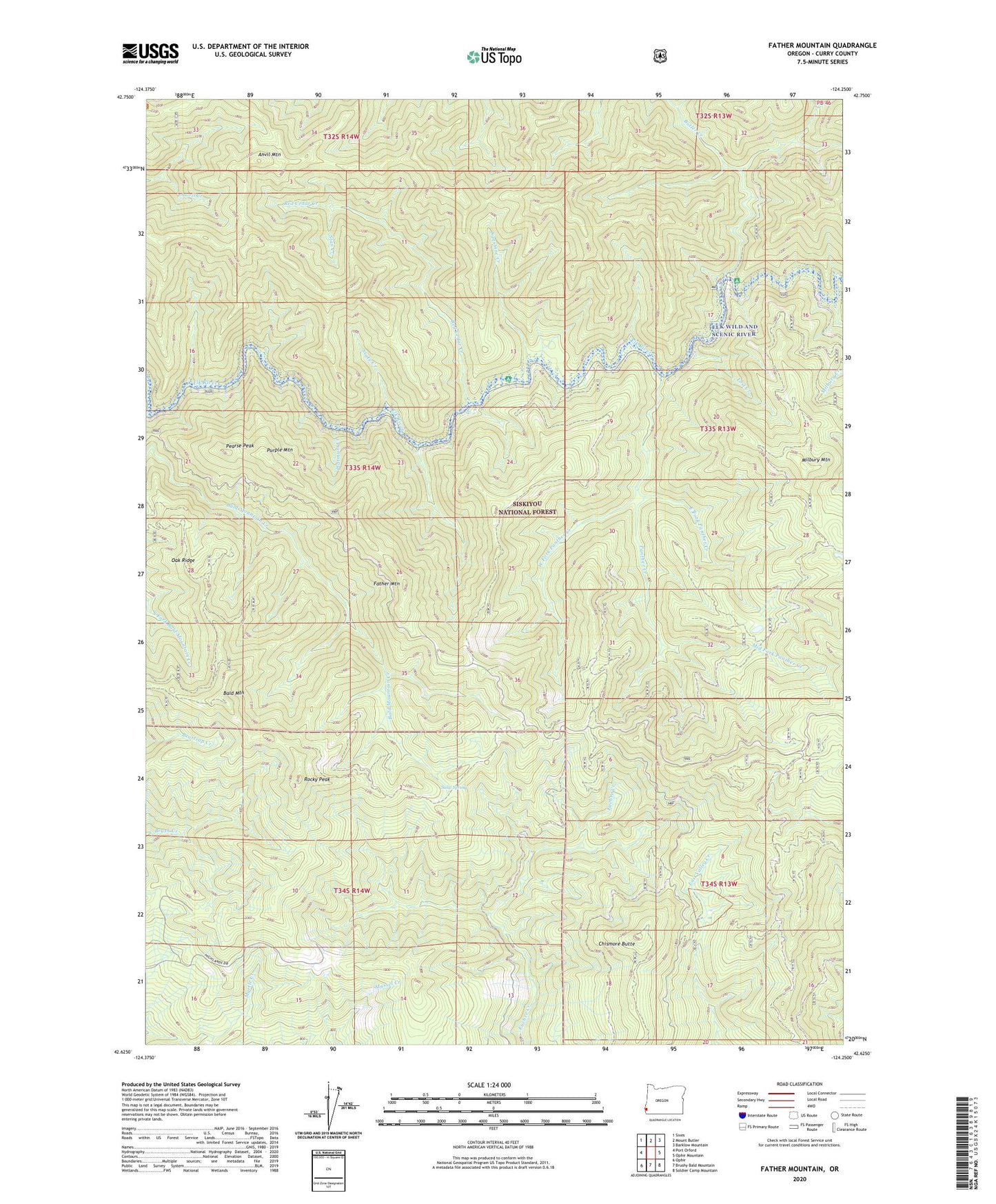
Father Mountain Oregon US Topo Map
Couldn't load pickup availability
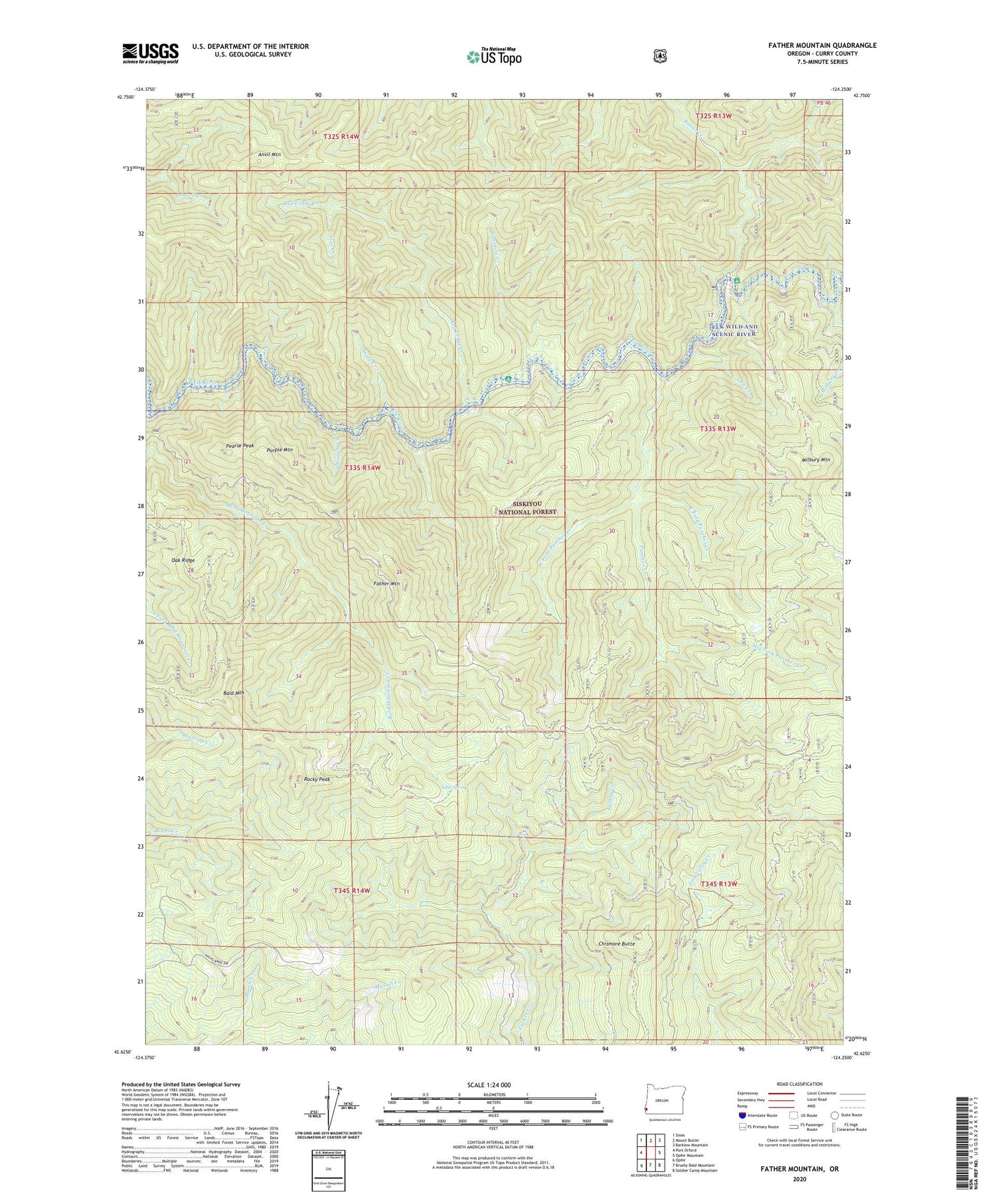
Also explore the Father Mountain Forest Service Topo of this same quad for updated USFS data
2023 topographic map quadrangle Father Mountain in the state of Oregon. Scale: 1:24000. Based on the newly updated USGS 7.5' US Topo map series, this map is in the following counties: Curry. The map contains contour data, water features, and other items you are used to seeing on USGS maps, but also has updated roads and other features. This is the next generation of topographic maps. Printed on high-quality waterproof paper with UV fade-resistant inks.
Quads adjacent to this one:
West: Port Orford
Northwest: Sixes
North: Mount Butler
Northeast: Barklow Mountain
East: Ophir Mountain
Southeast: Soldier Camp Mountain
South: Brushy Bald Mountain
Southwest: Ophir
This map covers the same area as the classic USGS quad with code o42124f3.
Contains the following named places: Anvil Mountain, Bald Mountain, Butler Bar Recreation Site, Butler Creek, Chismore Butte, East Fork Panther Creek, Elk Wild and Scenic River, Father Mountain, Grassy Knob Wilderness, Lost Creek, Mid Fork Panther Creek, Milbury Creek, Milbury Mountain, Mountain Well, Mountain Well Camp, Oak Ridge, Panther Creek, Panther Creek Campground, Pearse Peak, Platinum Creek, Purple Mountain, Red Cedar Creek, Rocky Peak, Salal Spring, Stan Creek, State Creek, Sunshine Bar Recreation Site, Sunshine Creek, Sunshine Mine, West Fork Panther Creek