MyTopo
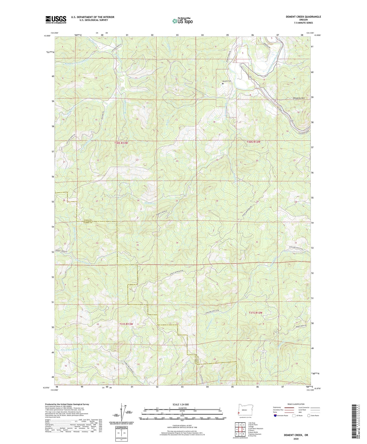
Dement Creek Oregon US Topo Map
Couldn't load pickup availability
Also explore the Dement Creek Forest Service Topo of this same quad for updated USFS data
2024 topographic map quadrangle Dement Creek in the state of Oregon. Scale: 1:24000. Based on the newly updated USGS 7.5' US Topo map series, this map is in the following counties: Coos, Curry. The map contains contour data, water features, and other items you are used to seeing on USGS maps, but also has updated roads and other features. This is the next generation of topographic maps. Printed on high-quality waterproof paper with UV fade-resistant inks.
Quads adjacent to this one:
West: Calf Ranch Mountain
Northwest: Bill Peak
North: Myrtle Point
Northeast: Bridge
East: Powers
Southeast: China Flat
South: Barklow Mountain
Southwest: Mount Butler
This map covers the same area as the classic USGS quad with code o42124h2.
Contains the following named places: Albert H Powers Memorial State Park, Amifer, Beaverdam Branch, Bills Prairie, Custer Post Office, Delfit, Dement Cemetery, Dement Creek, Emmons, Koontz Creek, Middle Fork Catching Creek, Mill Creek, Oregon Department of Transportation Boat Launch, Roberts Creek, Roland Post Office, Russel Creek, South Fork Catching Creek, Warner, White Rock Creek, ZIP Code: 97414