MyTopo
Mount Reuben Oregon US Topo Map
Couldn't load pickup availability
Also explore the Mount Reuben Forest Service Topo of this same quad for updated USFS data
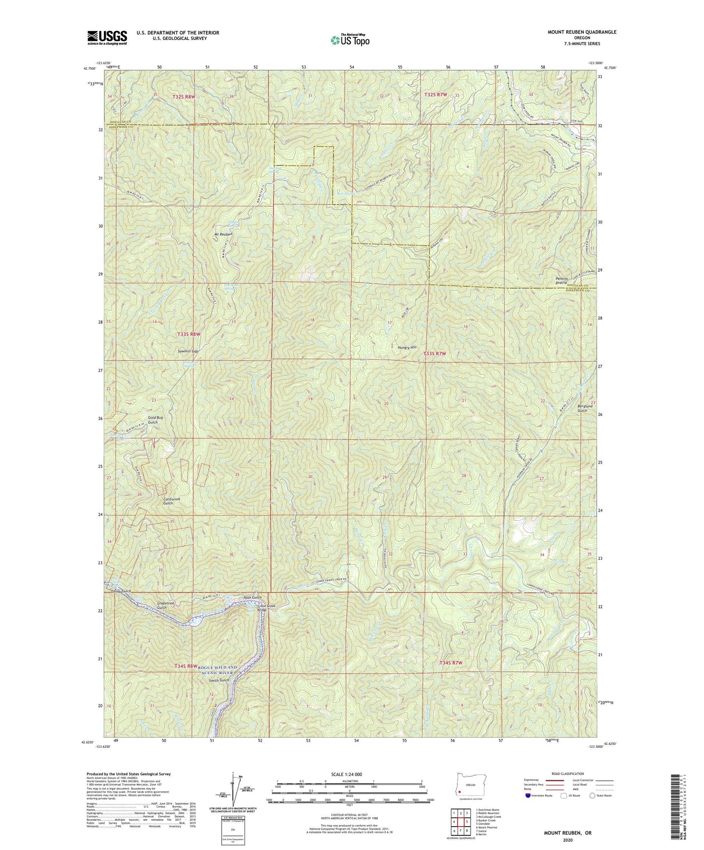
2023 topographic map quadrangle Mount Reuben in the state of Oregon. Scale: 1:24000. Based on the newly updated USGS 7.5' US Topo map series, this map is in the following counties: Josephine, Douglas. The map contains contour data, water features, and other items you are used to seeing on USGS maps, but also has updated roads and other features. This is the next generation of topographic maps. Printed on high-quality waterproof paper with UV fade-resistant inks.
Quads adjacent to this one:
West: Bunker Creek
Northwest: Dutchman Butte
North: Rabbit Mountain
Northeast: McCullough Creek
East: Glendale
Southeast: Merlin
South: Galice
Southwest: Mount Peavine
This map covers the same area as the classic USGS quad with code o42123f5.
Contains the following named places: Ajax Gulch, Ajax Mine, Archer Mine, Argo Boat Launch, Baker Mine, Bantam Mine, Battle Creek, Bear Spring, Berglund Gulch, Butte Creek, California Mine, China Gulch, China Gulch Rapids, Dry Creek, Fall Creek, Goff Mine, Gold Bug Gulch, Gold Bug Mine, Grave Creek, Grave Creek Boat Ramp, Grave Creek Bridge, Grave Creek Falls, Grave Creek Riffle, Harris Creek, Hungry Hill, J C L Mine, Johnson Spring, Marion Creek, McKnabe Creek, McNair Creek, Molly Hill Mine, Mount Reuben, One Doe Spring, Panther Creek, Perkins Prairie, Pine Cone Spring, Pix Mine, Poorman Creek, Rainie Falls, Reservoir Creek, Reuben Creek, Rock Creek, Sawmill Gap, Singletree Gulch, Smith Gulch, Swanson Creek, Tibbett Spring, Victory Mine, Windy Gap Mine


