MyTopo
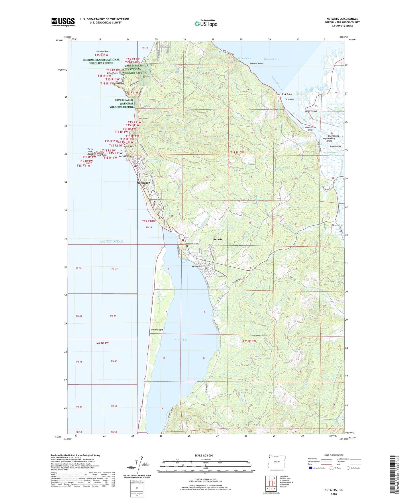
Netarts Oregon US Topo Map
Couldn't load pickup availability
Also explore the Netarts Forest Service Topo of this same quad for updated USFS data
2024 topographic map quadrangle Netarts in the state of Oregon. Scale: 1:24000. Based on the newly updated USGS 7.5' US Topo map series, this map is in the following counties: Tillamook. The map contains contour data, water features, and other items you are used to seeing on USGS maps, but also has updated roads and other features. This is the next generation of topographic maps. Printed on high-quality waterproof paper with UV fade-resistant inks.
Quads adjacent to this one:
North: Garibaldi
Northeast: Kilchis River
East: Tillamook
Southeast: Beaver
South: Sand Lake
Southwest: Sand Lake OE W
This map covers the same area as the classic USGS quad with code o45123d8.
Contains the following named places: Agate Beach, Austin Creek, B B Dairy, Baughman Creek, Big Barn RV Park and Marina, Big Barn RV Park and Marina Boat Launch, Boulder Point, Cape Meares, Cape Meares Lighthouse, Cape Meares National Wildlife Refuge, Cape Meares Post Office, Cape Meares State Scenic Viewpoint, Delta Island, Dick Point, Dick Point Dike, Dry Stocking Island, Esther Creek, Fagan Creek, Fall Creek, Flower Pot, Flower Pot Creek, Happy Camp, Happy Camp County Park, Hodgdon Creek, Larson Creek, Maxwell Point, McCoys Cove, Memaloose Creek, Memaloose Point, Memaloose Point County Boat Launch, Netarts, Netarts - Oceanside Rural Fire Protection District Station 61 Headquarters, Netarts - Oceanside Rural Fire Protection District Station 62, Netarts - Oceanside Sanitary District, Netarts Bay, Netarts Census Designated Place, Netarts Community County Park, Netarts Landing County Boat Launch, Netarts Post Office, Netarts Spit, North Branch Fall Creek, Oceanside, Oceanside Beach State Recreation Site, Oceanside Census Designated Place, Oceanside Post Office, O'Hara Creek, Pillar Rock, Pyramid Rock, Rice Creek, Rock Point, Sand Island, Seal Rock, Short Beach, Short Creek, Silver Sands, Snag Island, Spring Valley Farms, Symons State Park, Three Arch Rocks, Three Arch Rocks National Wildlife Refuge, Three Arch Rocks Wilderness, Tillamook River, Tomlinson Creek, Tomlinson Slough, Trask River, Whiskey Creek, Wilson Beach, Wilson River, Yager Creek, ZIP Code: 97134


