MyTopo
O'Brien Oregon US Topo Map
Couldn't load pickup availability
Also explore the O'Brien Forest Service Topo of this same quad for updated USFS data
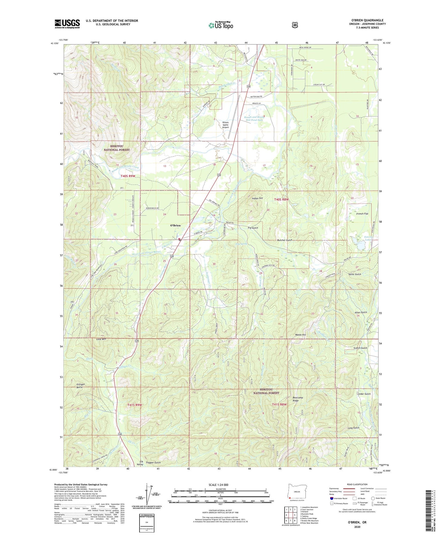
2023 topographic map quadrangle O'Brien in the state of Oregon. Scale: 1:24000. Based on the newly updated USGS 7.5' US Topo map series, this map is in the following counties: Josephine. The map contains contour data, water features, and other items you are used to seeing on USGS maps, but also has updated roads and other features. This is the next generation of topographic maps. Printed on high-quality waterproof paper with UV fade-resistant inks.
Quads adjacent to this one:
West: Buckskin Peak
Northwest: Josephine Mountain
North: Cave Junction
Northeast: Holland
East: Takilma
Southeast: Polar Bear Mountain
South: Broken Rib Mountain
Southwest: Shelly Creek Ridge
This map covers the same area as the classic USGS quad with code o42123a6.
Contains the following named places: Allen Gulch, Allentown, Bearcamp Ridge, Brown City, Butcher Gulch, Cedar Gulch, Deering Post Office, Dwight Creek, Elk Creek, Elk Valley, Esterly Lakes, Esterly Mine, French Flat, Fry Gulch, Gateway State Wayside, Gilligan Butte, Gilligan Creek, Grannys Run, Hope Spring, Illinois Valley Airport, Illinois Valley Fire District Old Station 3, Illinois Valley Fire District Station 3, Indian Hill, Leuizenger Creek, Little Rock Creek, Logan Cut, Lone Mountain, Long Gulch, Mendenhall Creek, O'Brien, O'Brien Census Designated Place, O'Brien Creek, O'Brien Post Office, Page Creek, Parker Creek, Rock Creek, Rough and Ready Creek, Rough and Ready Log Pond, Rough and Ready Lumber Biomass Production, Rough and Ready Mill Pond Dam, Rough and Ready State Park, Scotch Gulch, Seats Dam, Siskiyou Aerial Project Complex, Skag Creek, Studhorse Creek, Trapper Gulch, Waldo, Waldo Hill, Waldo Post Office, Wood Creek


