MyTopo
Old Blue Oregon US Topo Map
Couldn't load pickup availability
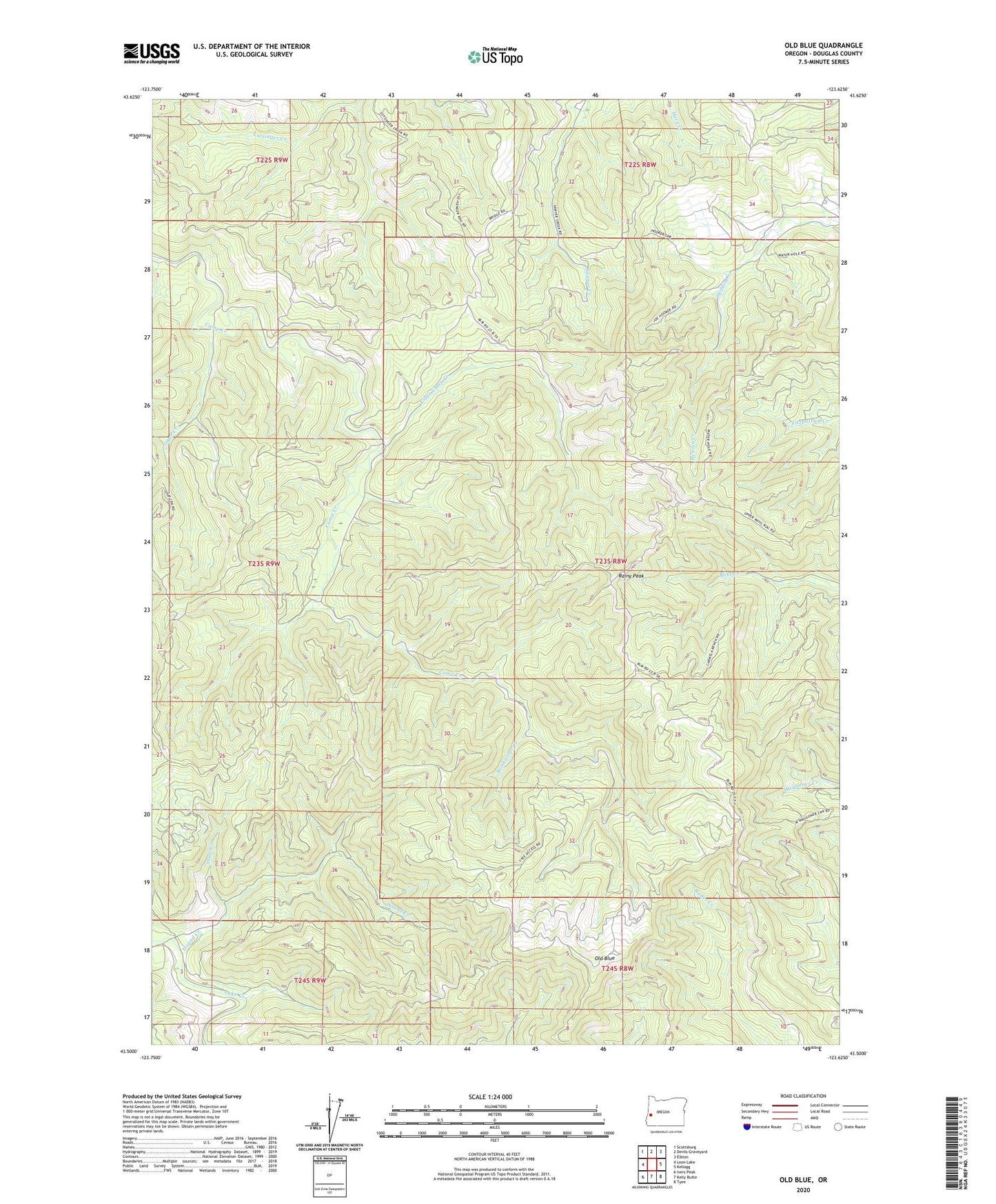
2020 topographic map quadrangle Old Blue in the state of Oregon. Scale: 1:24000. Based on the newly updated USGS 7.5' US Topo map series, this map is in the following counties: Douglas. The map contains contour data, water features, and other items you are used to seeing on USGS maps, but also has updated roads and other features. This is the next generation of topographic maps. Printed on high-quality waterproof paper with UV fade-resistant inks.
Quads adjacent to this one:
West: Loon Lake
Northwest: Scottsburg
North: Devils Graveyard
Northeast: Elkton
East: Kellogg
Southeast: Tyee
South: Kelly Butte
Southwest: Ivers Peak
Contains the following named places: Belshazzar Creek, Hound Creek, Little Camp Creek, Old Blue, Otter Creek, Rainy Peak, Shale Creek