
MyTopo
Partridge Creek Oregon US Topo Map
Couldn't load pickup availability
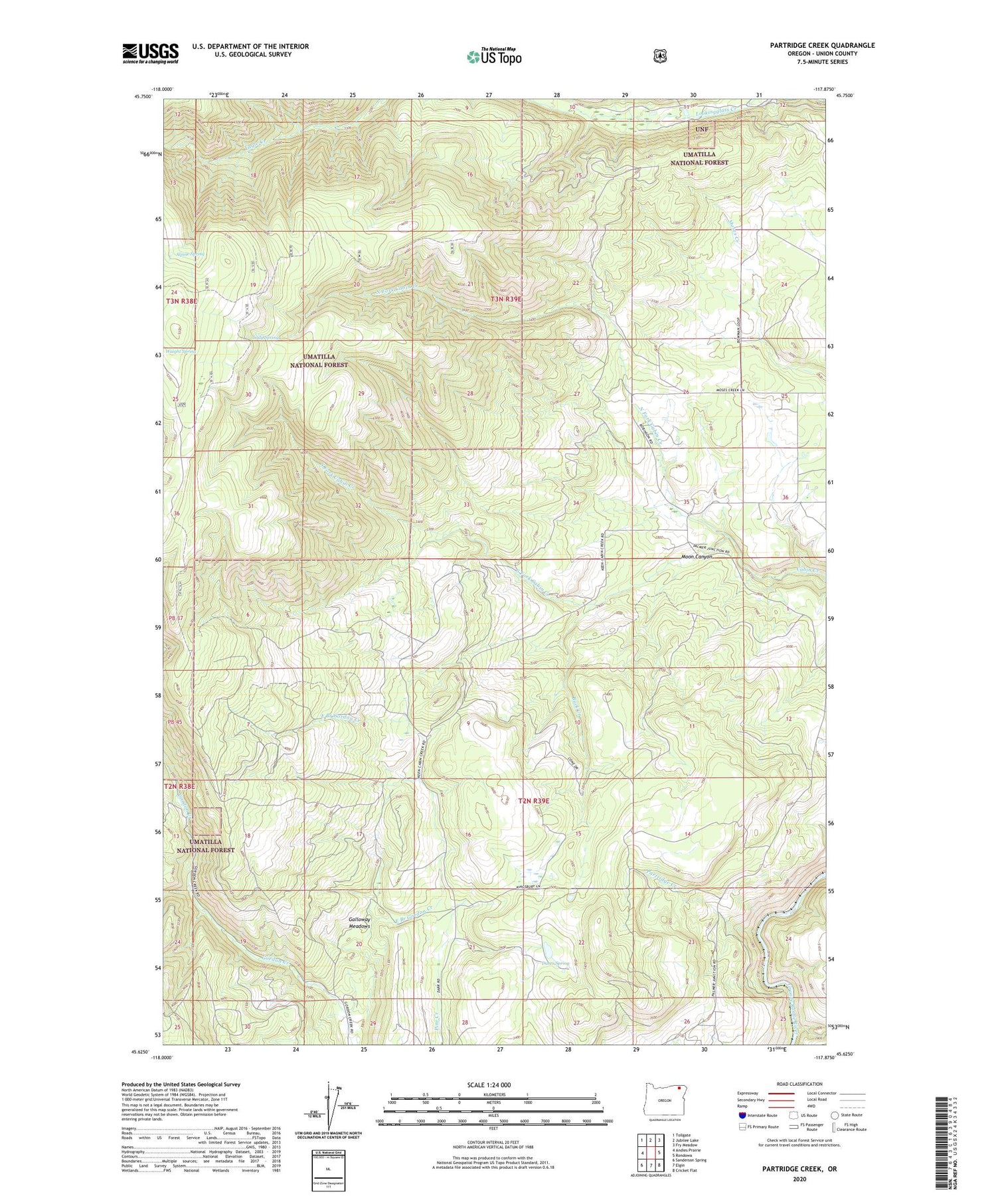
2020 topographic map quadrangle Partridge Creek in the state of Oregon. Scale: 1:24000. Based on the newly updated USGS 7.5' US Topo map series, this map is in the following counties: Union. The map contains contour data, water features, and other items you are used to seeing on USGS maps, but also has updated roads and other features. This is the next generation of topographic maps. Printed on high-quality waterproof paper with UV fade-resistant inks.
Quads adjacent to this one:
West: Andies Prairie
Northwest: Tollgate
North: Jubilee Lake
Northeast: Fry Meadow
East: Rondowa
Southeast: Cricket Flat
South: Elgin
Southwest: Sanderson Spring
Contains the following named places: Alpine Spring, Buck Creek, Darrs Spring, Elgin Division, Galloway Meadows, Lady Spring, Moon Canyon, North Fork Cabin Creek, Palmer Junction School, Partridge Creek, South Fork Cabin Creek


