MyTopo
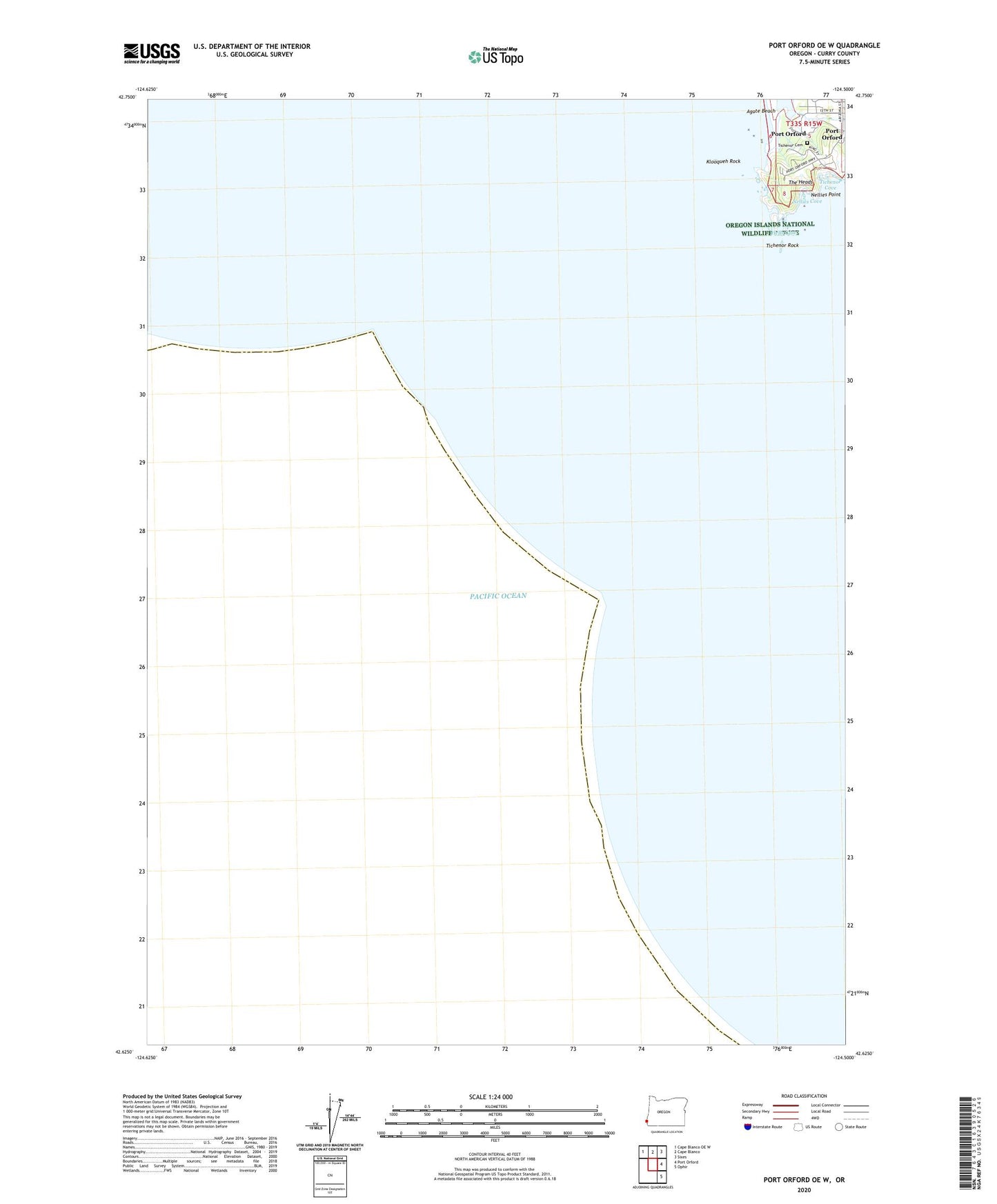
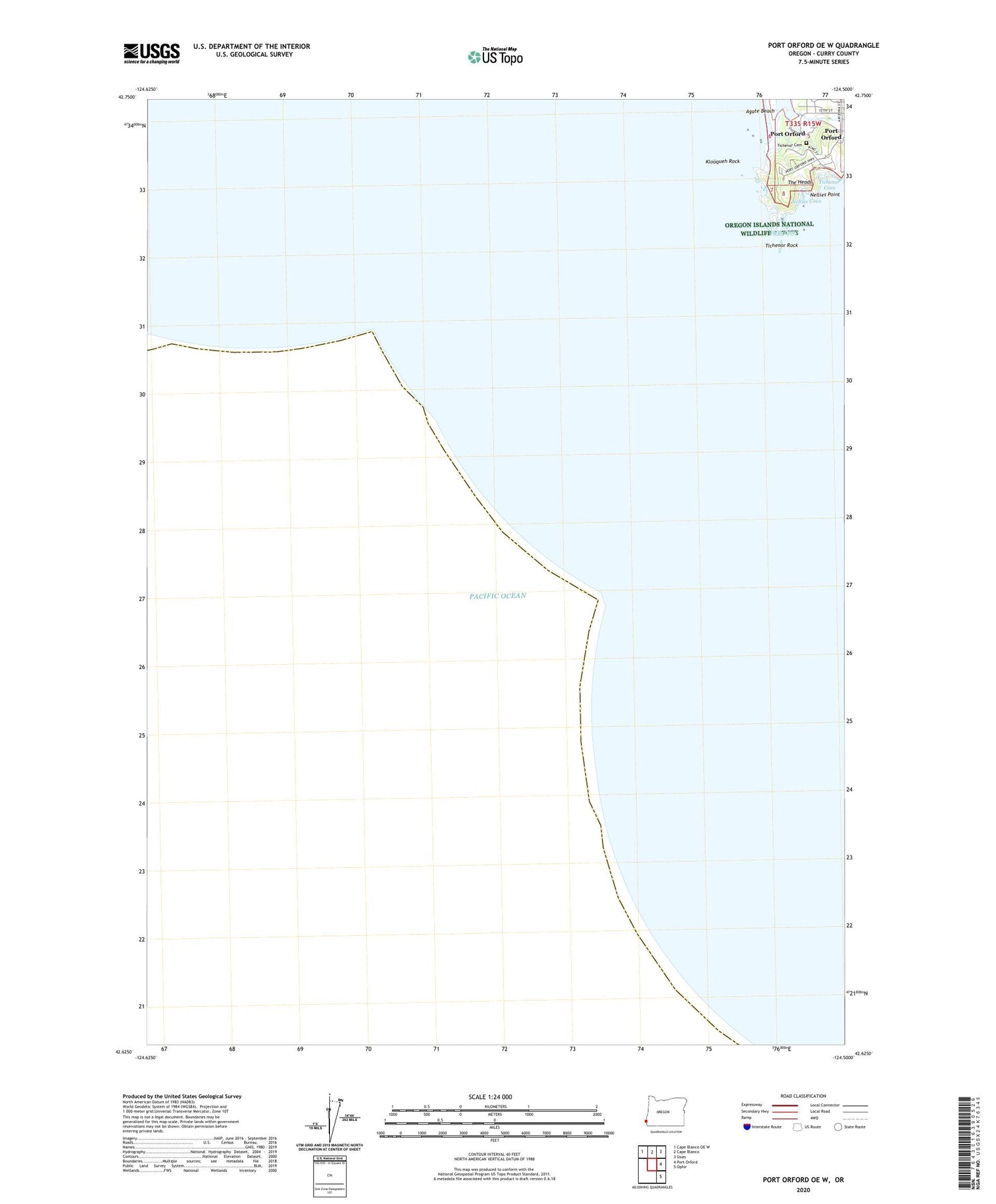
Port Orford OE W Oregon US Topo Map
Couldn't load pickup availability
Also explore the Port Orford OE W Forest Service Topo of this same quad for updated USFS data
2024 topographic map quadrangle Port Orford OE W in the state of Oregon. Scale: 1:24000. Based on the newly updated USGS 7.5' US Topo map series, this map is in the following counties: Curry. The map contains contour data, water features, and other items you are used to seeing on USGS maps, but also has updated roads and other features. This is the next generation of topographic maps. Printed on high-quality waterproof paper with UV fade-resistant inks.
Quads adjacent to this one:
Northwest: Cape Blanco OE W
North: Cape Blanco
Northeast: Sixes
East: Port Orford
Southeast: Ophir
Contains the following named places: Agate Beach, Garrison Lake Boat Ramp, Hells Gate, Klooqueh Rock, Nellies Cove, Nellies Point, Port Orford Heads State Park, Port Orford Lifeboat Station Museum, Port Orford Sewage Treatment Plant, The Heads, Tichenor Cemetery, Tichenor Cove, Tichenor Rock