MyTopo
Potato Hills Oregon US Topo Map
Couldn't load pickup availability
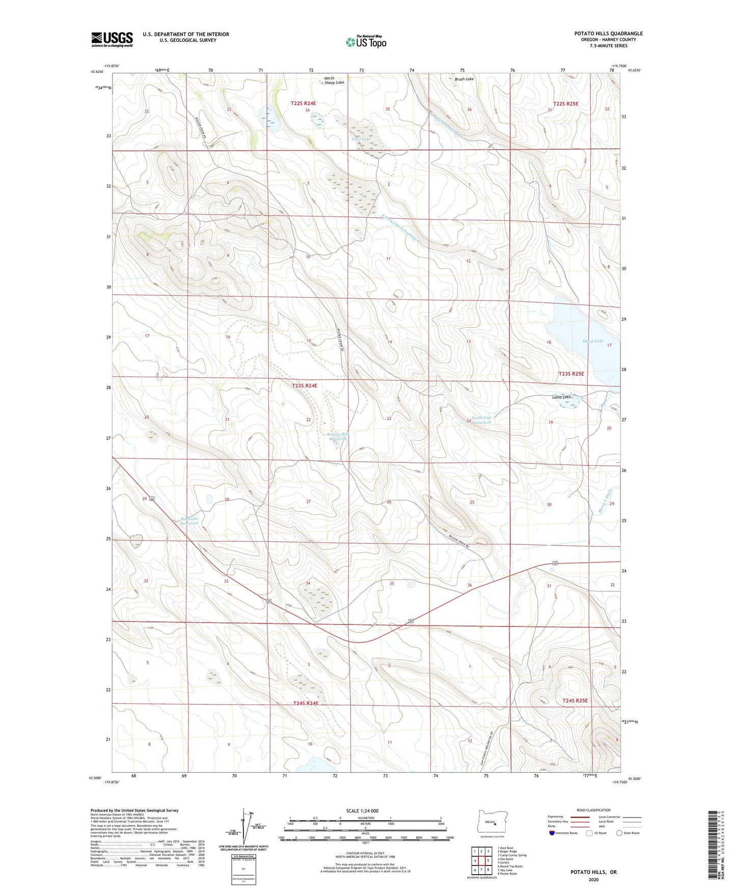
2024 topographic map quadrangle Potato Hills in the state of Oregon. Scale: 1:24000. Based on the newly updated USGS 7.5' US Topo map series, this map is in the following counties: Harney. The map contains contour data, water features, and other items you are used to seeing on USGS maps, but also has updated roads and other features. This is the next generation of topographic maps. Printed on high-quality waterproof paper with UV fade-resistant inks.
Quads adjacent to this one:
West: Hat Butte
Northwest: Dust Bowl
North: Bulger Ridge
Northeast: Camp Currey Spring
East: Suntex
Southeast: Paiute Butte
South: Hay Lake
Southwest: Round Top Butte
This map covers the same area as the classic USGS quad with code o43119e7.
Contains the following named places: Cecil Lake, Lamb Lake, North Gap Waterhole, Potato Hill Reservoir, Roadside Reservoir, Sheep L Ditch, Sheep Lake