MyTopo
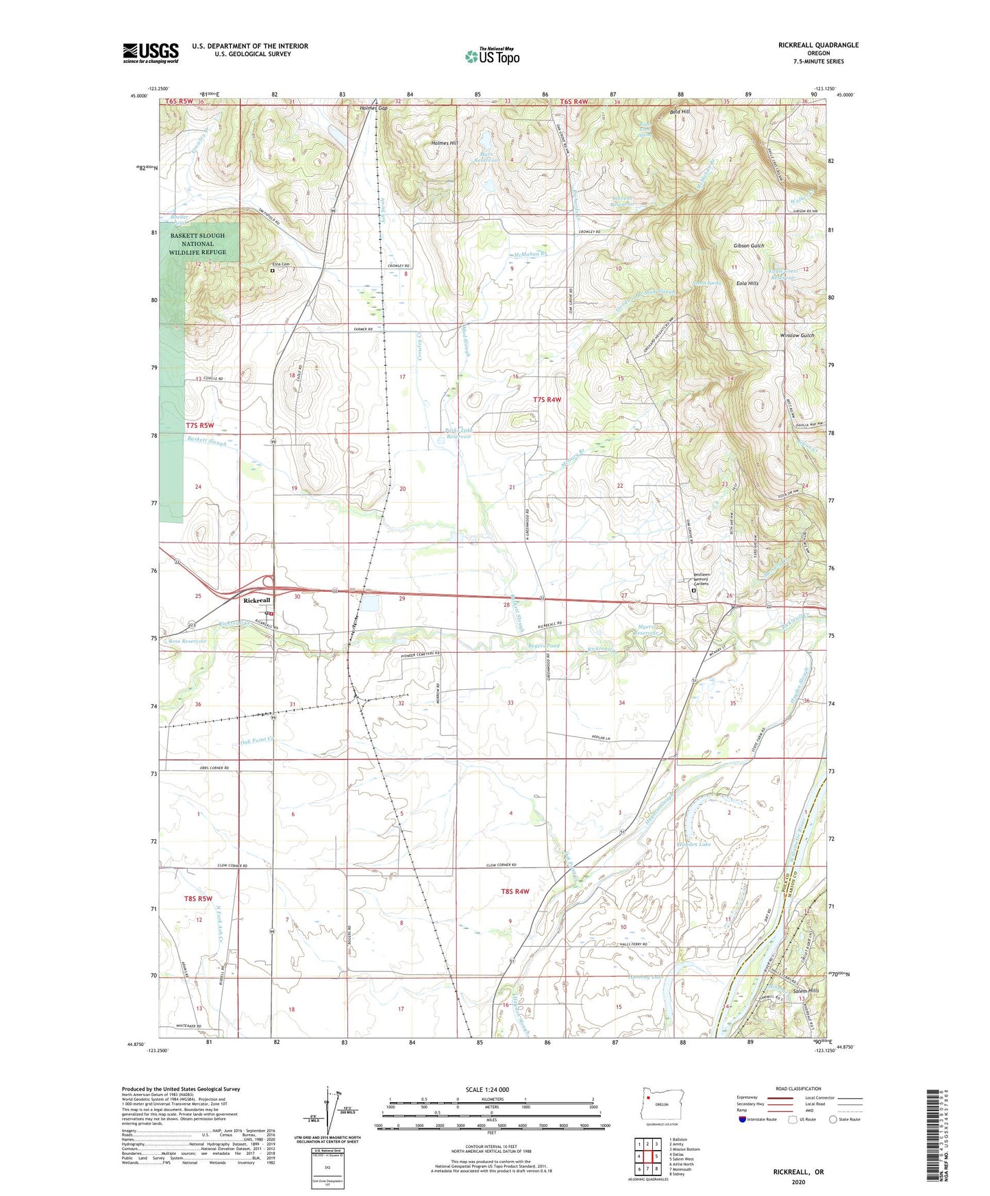
Rickreall Oregon US Topo Map
Couldn't load pickup availability
2023 topographic map quadrangle Rickreall in the state of Oregon. Scale: 1:24000. Based on the newly updated USGS 7.5' US Topo map series, this map is in the following counties: Polk, Marion. The map contains contour data, water features, and other items you are used to seeing on USGS maps, but also has updated roads and other features. This is the next generation of topographic maps. Printed on high-quality waterproof paper with UV fade-resistant inks.
Quads adjacent to this one:
West: Dallas
Northwest: Ballston
North: Amity
Northeast: Mission Bottom
East: Salem West
Southeast: Sidney
South: Monmouth
Southwest: Airlie North
This map covers the same area as the classic USGS quad with code o44123h2.
Contains the following named places: Bald Hill, Baskett Slough, Beyers Pond, Boeder Pond, Brophy, Brunks Corner, Cascade Airstrip, Cherriots Rickreall Park and Ride, Clow Corner, Cochrane, Croston Post Office, Crowley, Crowley Creek, Crowley Post Office, Derry, Derry Orchard, Eagle Crest Corner, Eagle Crest Reservoir, Eagle Crest Spring, Emil Marx-Lloyd Strange Fishing Hole, Etna Cemetery, Etna Post Office, Fidler Creek, Gerlinger, Goodwin Branch Mud Slough, Greenwood, Greenwood School, Halls Ferry, Harland Slough, Hayden Lake, Holmes Gap, Holmes Hill, Hosford, Humbug Lake, Knowles, KSKD-FM, Marx Dam, Marx Reservoir, McMahan Branch, McNary, McNary Branch, McNary Creek, Mineral Creek, Mud Slough, Mulkey, Myers Reservoir, Nelson Spring, Nesmith, Nesmith County Park, Oak Grove, Oak Knoll Golf Course, Oak Point Creek, O'Brien Place, Orrs Corner, Parks Lake Reservoir, Pentacle Theatre, Polk County Fairgrounds, Polk County Museum, Restlawn Memory Gardens Cemetery, Richards Creek, Rickreall, Rickreall Census Designated Place, Rickreall Post Office, Ross Reservoir, Salem Division, Southwest Polk County Rural Fire Protection District Station 130, Steel Systems Airstrip, Stevens Reservoir, Thielsen, Walkers Corner, Willamette Biomass Processor's, ZIP Code: 97371


