MyTopo
Saddle Mountain Oregon US Topo Map
Couldn't load pickup availability
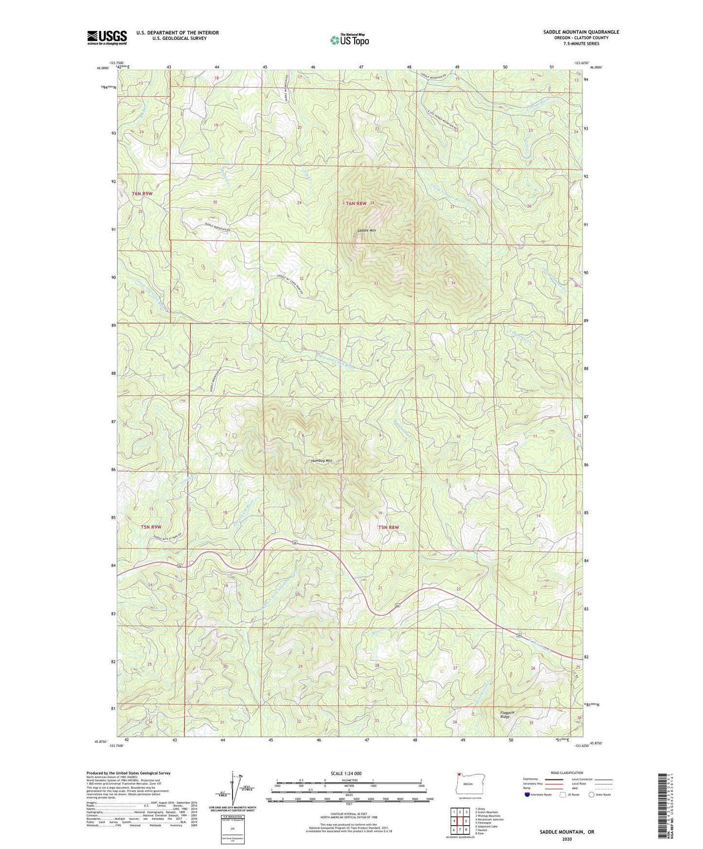
2023 topographic map quadrangle Saddle Mountain in the state of Oregon. Scale: 1:24000. Based on the newly updated USGS 7.5' US Topo map series, this map is in the following counties: Clatsop. The map contains contour data, water features, and other items you are used to seeing on USGS maps, but also has updated roads and other features. This is the next generation of topographic maps. Printed on high-quality waterproof paper with UV fade-resistant inks.
Quads adjacent to this one:
West: Necanicum Junction
Northwest: Olney
North: Green Mountain
Northeast: Wickiup Mountain
East: Vinemaple
Southeast: Elsie
South: Hamlet
Southwest: Soapstone Lake
This map covers the same area as the classic USGS quad with code o45123h6.
Contains the following named places: Beaver Creek, David Douglas County Park, Destruction Creek, Fall Creek, Flagpole Ridge, Grindy Creek, Humbug Mountain, Mabel Creek, Saddle Mountain, Saddle Mountain State Park