MyTopo
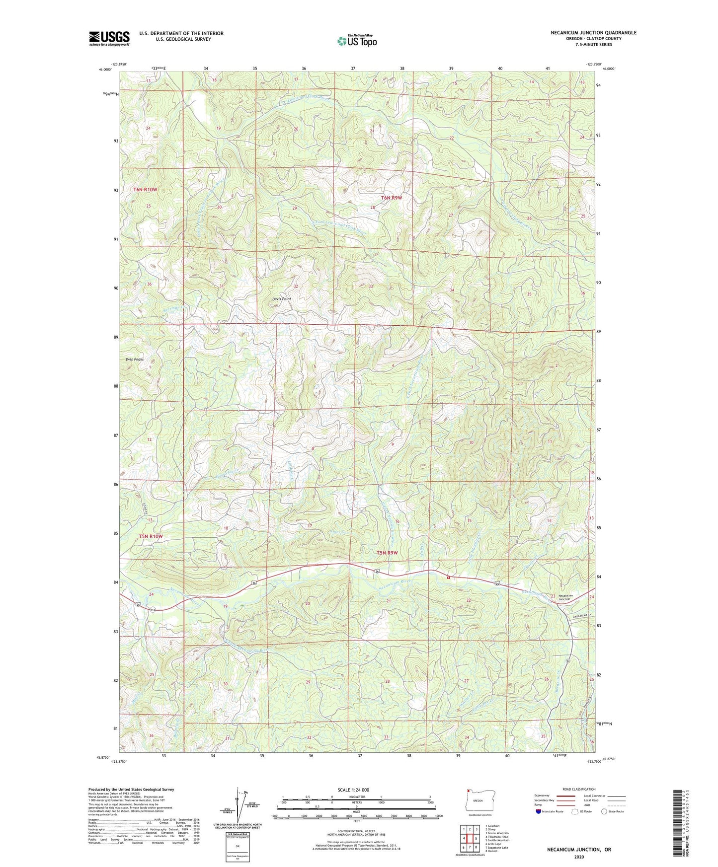
Necanicum Junction Oregon US Topo Map
Couldn't load pickup availability
2024 topographic map quadrangle Necanicum Junction in the state of Oregon. Scale: 1:24000. Based on the newly updated USGS 7.5' US Topo map series, this map is in the following counties: Clatsop. The map contains contour data, water features, and other items you are used to seeing on USGS maps, but also has updated roads and other features. This is the next generation of topographic maps. Printed on high-quality waterproof paper with UV fade-resistant inks.
Quads adjacent to this one:
West: Tillamook Head
Northwest: Gearhart
North: Olney
Northeast: Green Mountain
East: Saddle Mountain
Southeast: Hamlet
South: Soapstone Lake
Southwest: Arch Cape
Contains the following named places: Alder Creek, Bergsvik Creek, Brandis Creek, C Z Picnic Ground, Charlie Creek, Clatsop Fire Tower, Davis Point, Hamlet Volunteer Fire Department Necanicum Station, Joe Creek, Lindsley Creek, Little Humbug Creek, Little Joe Creek, Little South Fork Lewis and Clark River, Mail Creek, Necanicum, Necanicum Junction, Necanicum Post Office, North Fork Necanicum River, Seaside Dam, South Fork Lewis and Clark River, South Fork Necanicum River, Twin Peaks, Warner Creek, Warrenton Dam, Wolf Creek