MyTopo
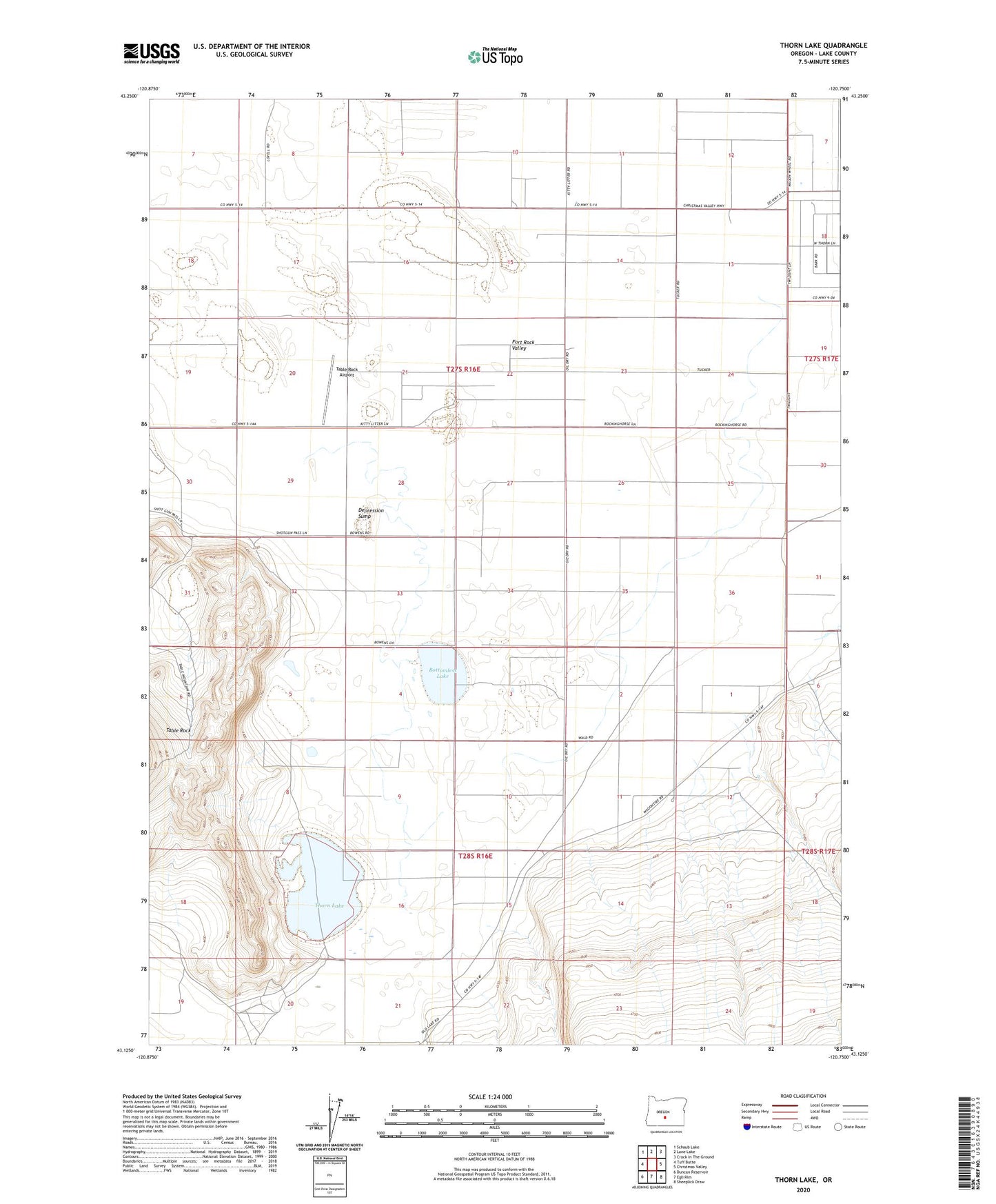
Thorn Lake Oregon US Topo Map
Couldn't load pickup availability
2023 topographic map quadrangle Thorn Lake in the state of Oregon. Scale: 1:24000. Based on the newly updated USGS 7.5' US Topo map series, this map is in the following counties: Lake. The map contains contour data, water features, and other items you are used to seeing on USGS maps, but also has updated roads and other features. This is the next generation of topographic maps. Printed on high-quality waterproof paper with UV fade-resistant inks.
Quads adjacent to this one:
West: Tuff Butte
Northwest: Schaub Lake
North: Lane Lake
Northeast: Crack In The Ground
East: Christmas Valley
Southeast: Sheeplick Draw
South: Egli Rim
Southwest: Duncan Reservoir
This map covers the same area as the classic USGS quad with code o43120b7.
Contains the following named places: Albertson Ranch, American Fossil Mine, Bottomless Lake, Burleson Post Office, Depression Sump, Desert Ranch, Government Well, Mallets Ranch, Shafter Ranch, Table Rock Airport, Thorn Lake