MyTopo
Tower Mountain Oregon US Topo Map
Couldn't load pickup availability
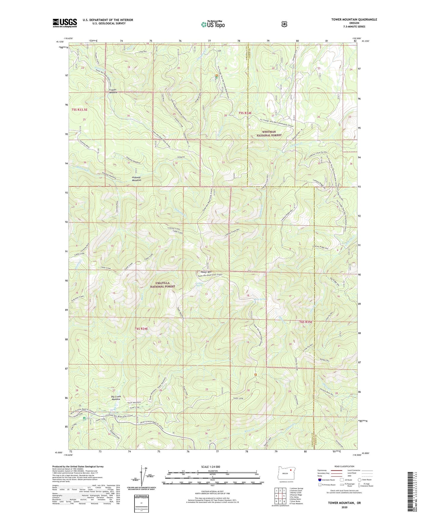
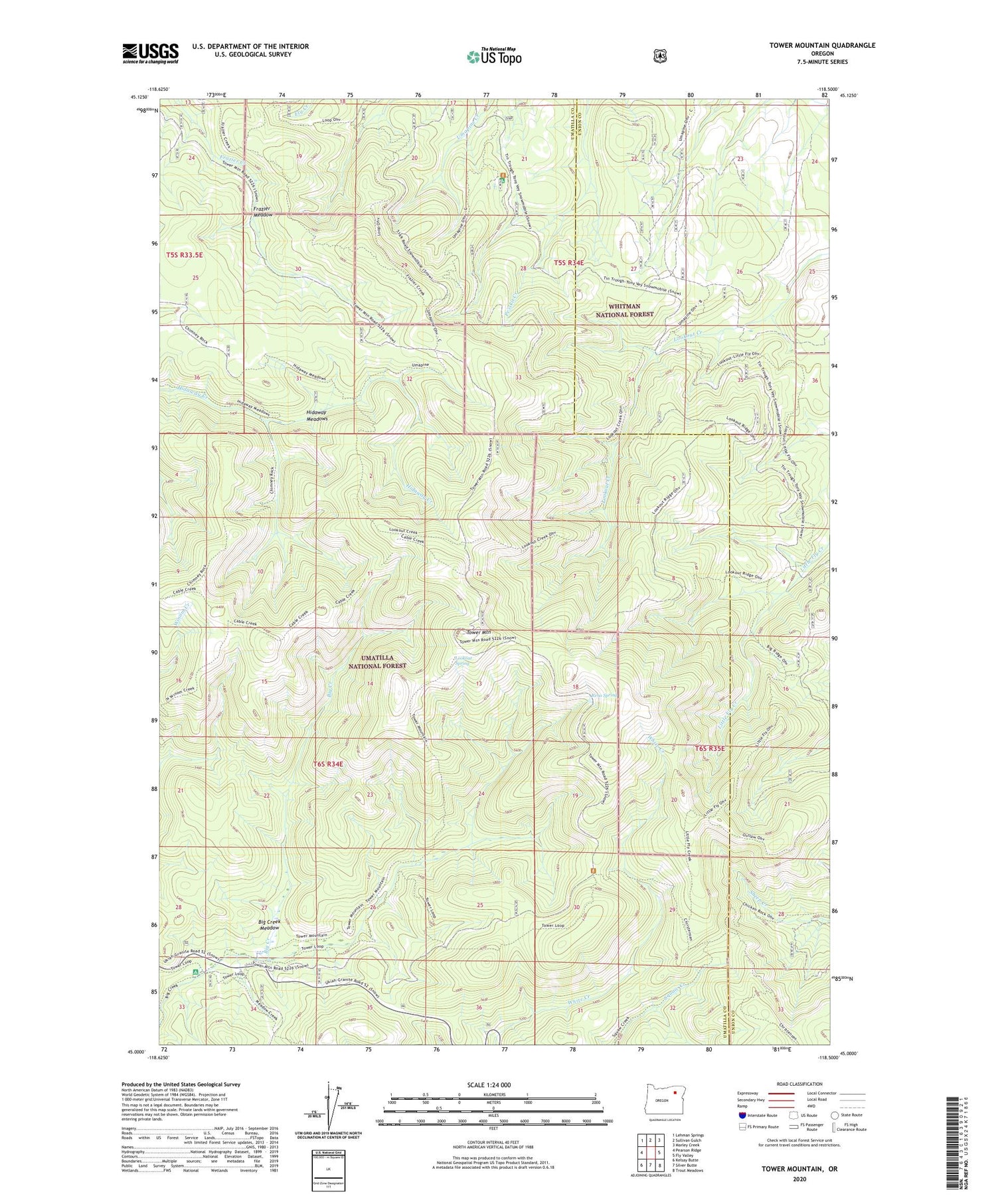
2020 topographic map quadrangle Tower Mountain in the state of Oregon. Scale: 1:24000. Based on the newly updated USGS 7.5' US Topo map series, this map is in the following counties: Umatilla, Union. The map contains contour data, water features, and other items you are used to seeing on USGS maps, but also has updated roads and other features. This is the next generation of topographic maps. Printed on high-quality waterproof paper with UV fade-resistant inks.
Quads adjacent to this one:
West: Pearson Ridge
Northwest: Lehman Springs
North: Sullivan Gulch
Northeast: Marley Creek
East: Fly Valley
Southeast: Trout Meadows
South: Silver Butte
Southwest: Kelsay Butte
Contains the following named places: Big Creek Meadow, Big Creek Meadows Recreation Site, Fly Creek Trail, Frazier Meadow, Hidaway Meadows, Lookout Spring, Reno Spring, Tower Mountain, Tower Mountain Lookout Tower, Umapine Recreation Site, Wapiti Camp