MyTopo
Twelvemile Reservoir Oregon US Topo Map
Couldn't load pickup availability
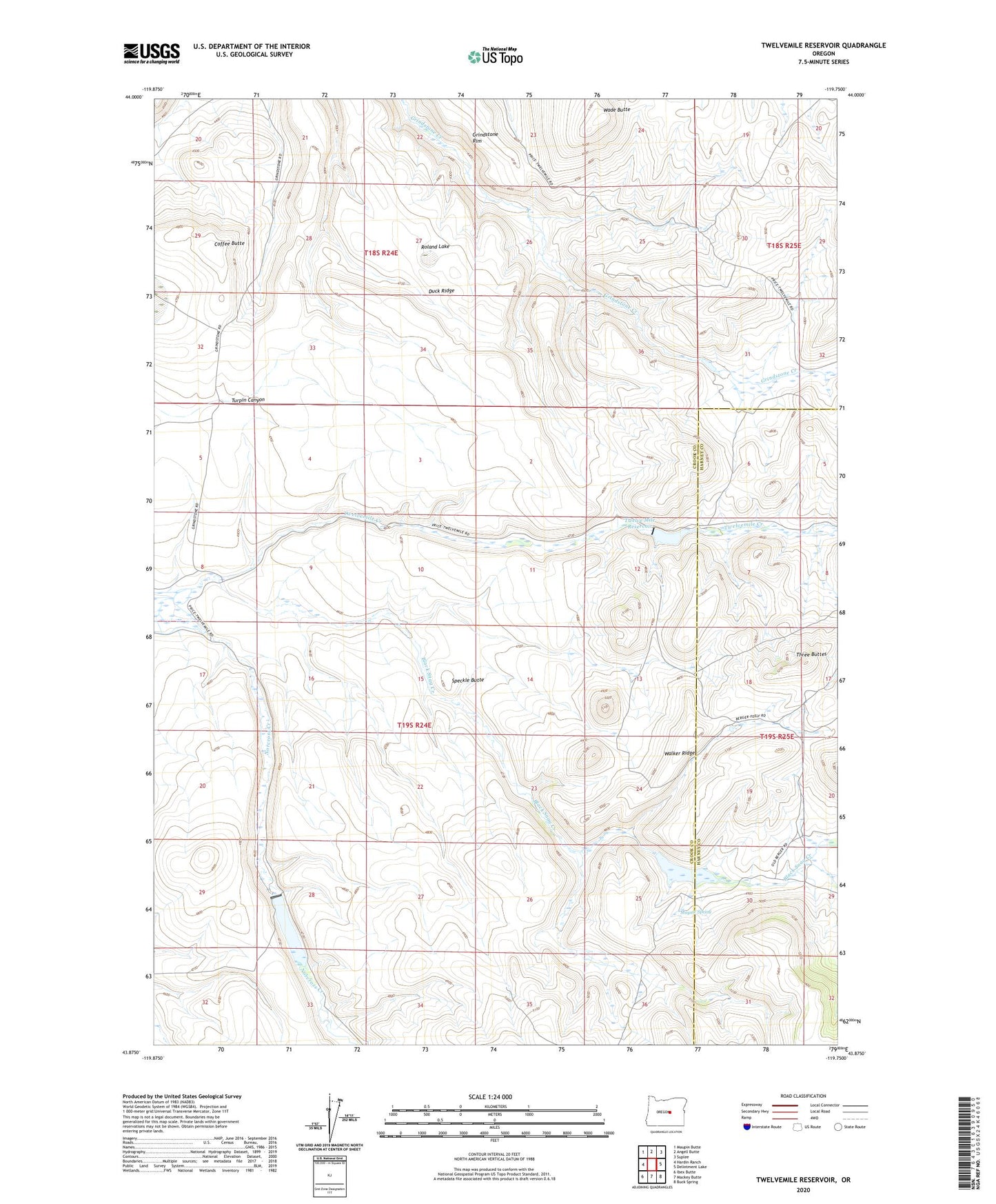
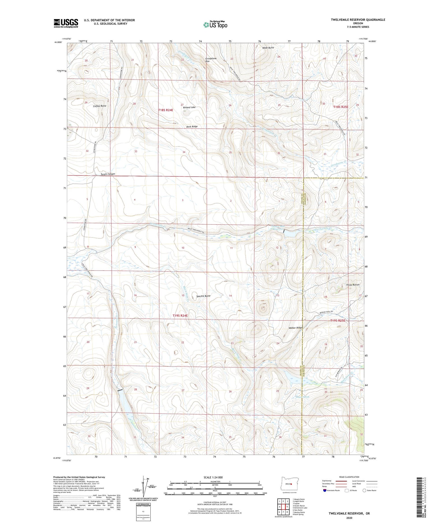
2020 topographic map quadrangle Twelvemile Reservoir in the state of Oregon. Scale: 1:24000. Based on the newly updated USGS 7.5' US Topo map series, this map is in the following counties: Crook, Harney. The map contains contour data, water features, and other items you are used to seeing on USGS maps, but also has updated roads and other features. This is the next generation of topographic maps. Printed on high-quality waterproof paper with UV fade-resistant inks.
Quads adjacent to this one:
West: Hardin Ranch
Northwest: Maupin Butte
North: Angell Butte
Northeast: Suplee
East: Delintment Lake
Southeast: Buck Spring
South: Mackey Butte
Southwest: Ibex Butte
Contains the following named places: Baker Ranch, Berger Ranch, Black Snag Creek, Coffee Butte, Duck Ridge, Lillard Dam, Lillard Reservoir, Mayme Spring, Roland Lake, Speckle Butte, Three Buttes, Turpin Canyon, Twelve Mile Dam, Twelve Mile Reservoir, Wade Butte, Walker Ridge