MyTopo
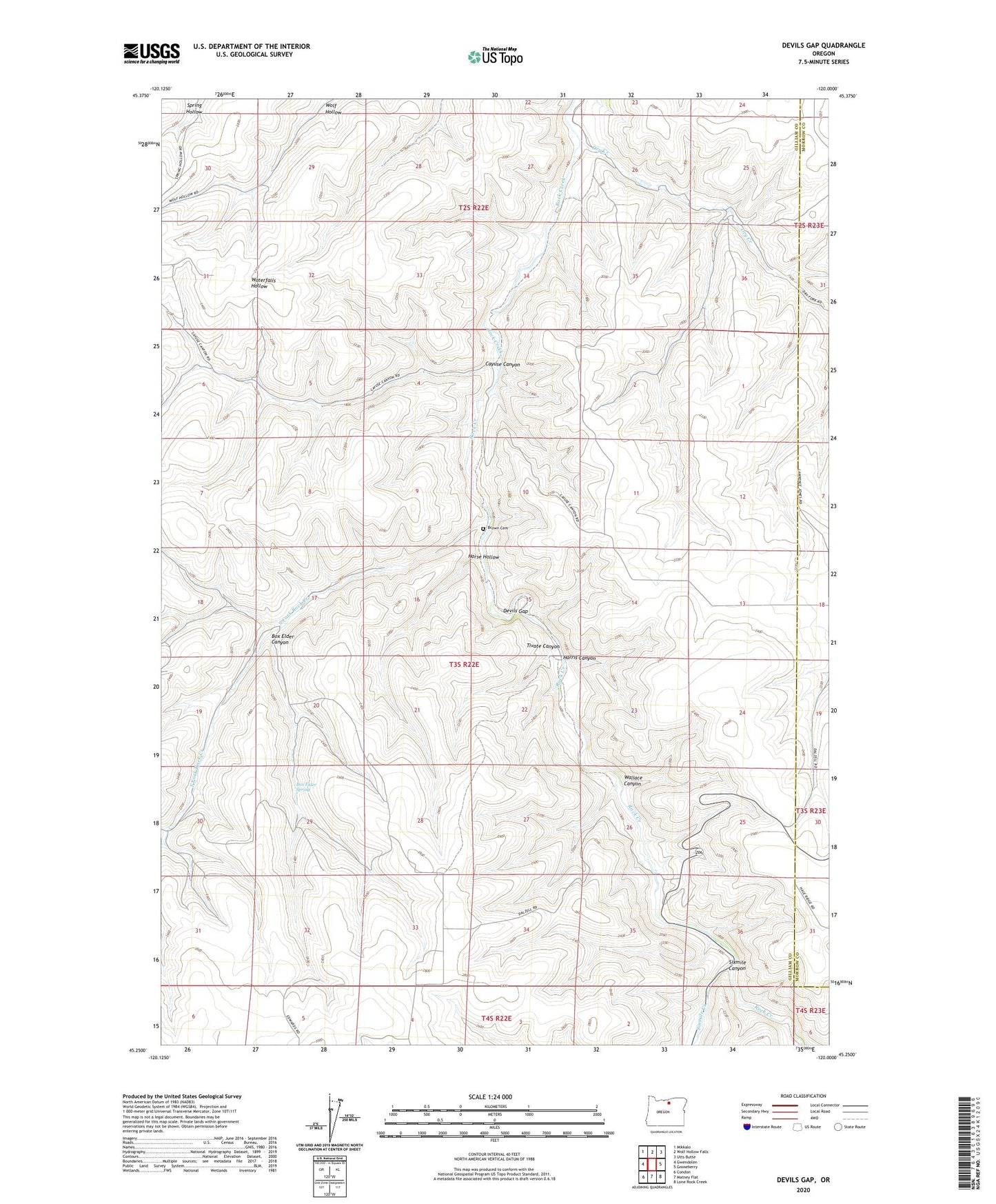
Devils Gap Oregon US Topo Map
Couldn't load pickup availability
2023 topographic map quadrangle Devils Gap in the state of Oregon. Scale: 1:24000. Based on the newly updated USGS 7.5' US Topo map series, this map is in the following counties: Gilliam, Morrow. The map contains contour data, water features, and other items you are used to seeing on USGS maps, but also has updated roads and other features. This is the next generation of topographic maps. Printed on high-quality waterproof paper with UV fade-resistant inks.
Quads adjacent to this one:
West: Gwendolen
Northwest: Mikkalo
North: Wolf Hollow Falls
Northeast: Utts Butte
East: Gooseberry
Southeast: Lone Rock Creek
South: Matney Flat
Southwest: Condon
This map covers the same area as the classic USGS quad with code o45120c1.
Contains the following named places: Arbogast Ranch, Box Elder Canyon, Box Elder Spring, Brown Cemetery, Cayuse Canyon, Devils Gap, Dry Creek, Ghost Camp, Harris Canyon, Horse Hollow, Sixmile Canyon, Sixmile Creek, South Fork Rock Creek, Tivate Canyon, Wallace Canyon, Whyte Park Rest Area