MyTopo
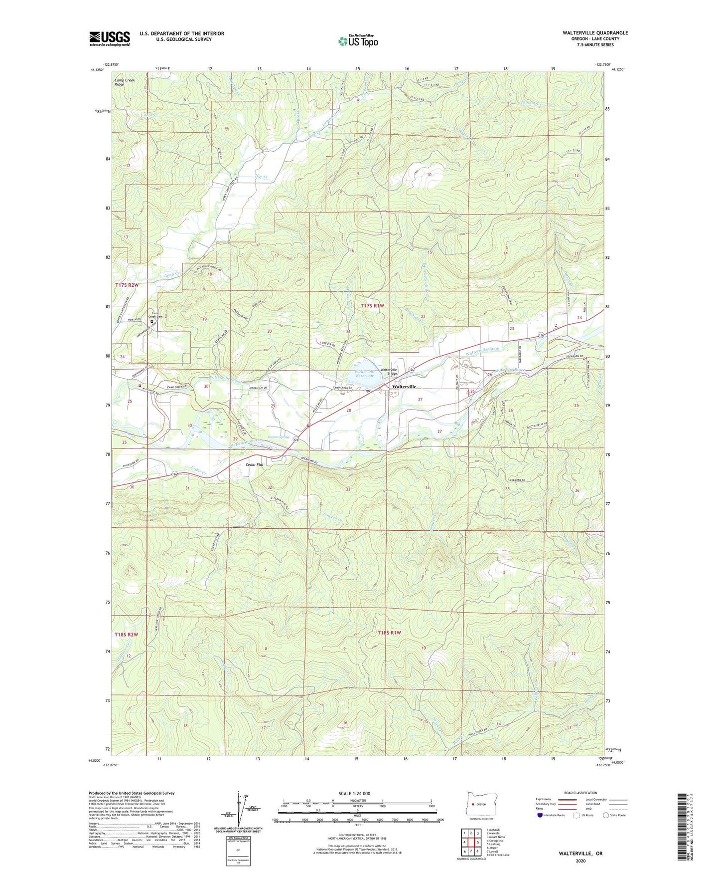
Walterville Oregon US Topo Map
Couldn't load pickup availability
2023 topographic map quadrangle Walterville in the state of Oregon. Scale: 1:24000. Based on the newly updated USGS 7.5' US Topo map series, this map is in the following counties: Lane. The map contains contour data, water features, and other items you are used to seeing on USGS maps, but also has updated roads and other features. This is the next generation of topographic maps. Printed on high-quality waterproof paper with UV fade-resistant inks.
Quads adjacent to this one:
West: Springfield
Northwest: Mohawk
North: Marcola
Northeast: Mount Nebo
East: Leaburg
Southeast: Fall Creek Lake
South: Lowell
Southwest: Jasper
This map covers the same area as the classic USGS quad with code o44122a7.
Contains the following named places: Beal Creek, Boulder Creek, Camp Creek Cemetery, Camp Creek Elementary School, Camp Creek Post Office, Cedar Flat, Cougar Creek, East Fork Rawhide Creek, Easton Spring, Emmerich Landing Pole Slide, Emmrich Landing County Park, Hendricks Bridge County Park, Hendrick's Bridge Wayside Boat Ramp, Jameson Creek, McKenzie Fire and Rescue Station 1 Walterville Station, McKenzie Fire and Rescue Station 2 - Camp Creek Station, Nye Creek, Osborn Creek, Potter Creek, Rawhide Creek, Ray Creek, Rock Creek, Solomon Creek, Starks Creek, Taylor Creek, Thomas Creek, Wallace Creek, Walterville, Walterville Boat Ramp, Walterville Bridge, Walterville Canal, Walterville Dam, Walterville Elementary School, Walterville Post Office, Walterville Powerplant, Walterville Reservoir, Wegner Creek, ZIP Code: 97478


