MyTopo
West Myrtle Butte Oregon US Topo Map
Couldn't load pickup availability
Also explore the West Myrtle Butte Forest Service Topo of this same quad for updated USFS data
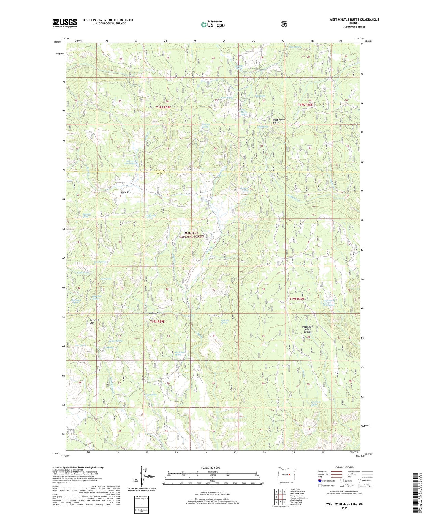
2024 topographic map quadrangle West Myrtle Butte in the state of Oregon. Scale: 1:24000. Based on the newly updated USGS 7.5' US Topo map series, this map is in the following counties: Harney, Grant. The map contains contour data, water features, and other items you are used to seeing on USGS maps, but also has updated roads and other features. This is the next generation of topographic maps. Printed on high-quality waterproof paper with UV fade-resistant inks.
Quads adjacent to this one:
West: Alsup Mountain
Northwest: Lewis Creek
North: Five Hundred Flat
Northeast: Rail Creek Butte
East: Myrtle Park Meadows
Southeast: Mosquito Flat
South: Landing Creek
Southwest: Hughet Valley
This map covers the same area as the classic USGS quad with code o43119h2.
Contains the following named places: Alder Creek, Badger Flat, Bingham Spring, Black Snag Spring, Brad Spring, Cold Spring, Cooley Creek, Deer Spring, Dry Creek Spring, Gribble Spring, Hole-in-the-Ground Spring, Izee Spring, J T Spring, Link Bar Spring, Mud Spring, Rainbow Creek, Rainbow Spring, Robinson Spring, Sage Hen Spring, Sallys Flat, Sallys Flat Spring, Soup Spring, Sugarloaf Mountain, Sugarloaf Mountain Fire Lookout, Sugarloaf Spring, Summit Spring, Thornburg Spring, Tipton Spring, Twin Springs, West Myrtle Butte, West Myrtle Butte Fire Lookout, West Myrtle Butte Forest Service Facility, West Myrtle Spring, WogonagaT potso-na Flat, WogonagaT potso-na Flat Spring