MyTopo
Ayers Hill Pennsylvania US Topo Map
Couldn't load pickup availability
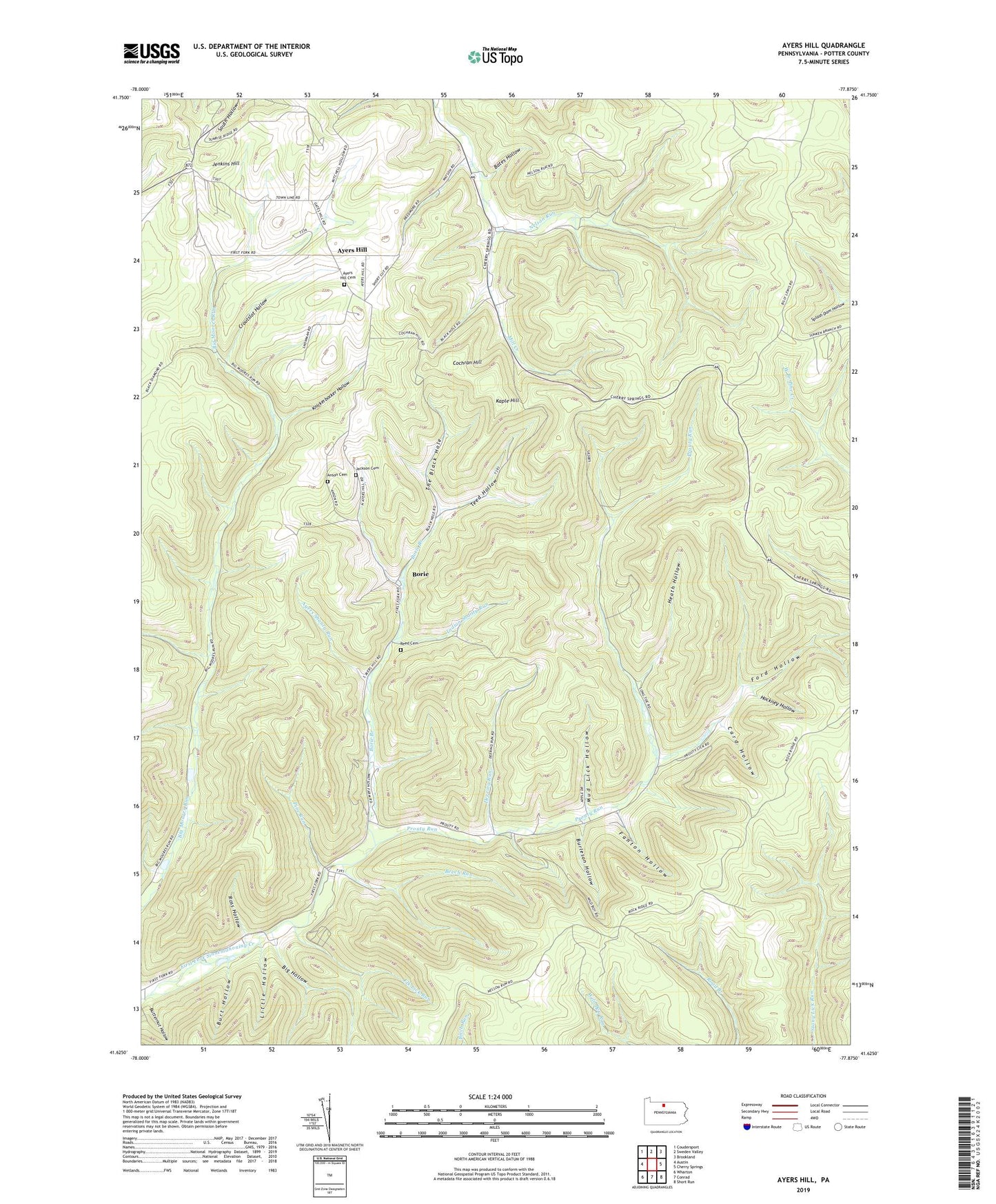
2019 topographic map quadrangle Ayers Hill in the state of Pennsylvania. Scale: 1:24000. Based on the newly updated USGS 7.5' US Topo map series, this map is in the following counties: Potter. The map contains contour data, water features, and other items you are used to seeing on USGS maps, but also has updated roads and other features. This is the next generation of topographic maps. Printed on high-quality waterproof paper with UV fade-resistant inks.
Quads adjacent to this one:
West: Austin
Northwest: Coudersport
North: Sweden Valley
Northeast: Brookland
East: Cherry Springs
Southeast: Short Run
South: Conrad
Southwest: Wharton
Contains the following named places: Arts Trail, Ayers Hill, Ayers Hill Cemetery, Ayers Shanty Run, Bates Hollow, Bear Lodge Trail, Bear Pen Trail, Beaver Trail, Beech Run, Berger Trail, Big Hollow, Borie, Borie Branch, Burleson Hollow, Burt Hollow, Butternut Hollow, Card Hollow, Cochran Hill, Coudersport Country Club, Croutslot Hollow, Deering Run, Elk Lick Run, Fanton Hollow, Ford Hollow, Fox Fire Trail, Gibbs Trail, Gillon Trail, Halsey Trail, Hardwood Trail, Harts Trail, Heath Hollow, Hockney Hollow, Ianson Cemetery, Indian Shanty Run, Jenkins Hill, Kaple Hill, Klesa Trail, Knickerbocker Hollow, Little Cherry Springs Park, Little Hollow, Mud Lick Hollow, Nelson Run, Patterson State Park, Pine Run, Pine Run Trail, Pole Lick Trail, Potter County, Prout Lick Trail, Prouty Place Camp, Prouty Place State Park, Prouty Run, Reed Cemetery, Ridge Trail, Rock Ridge Trail, Ross Hollow, Schoolhouse Trail, Summit Cemetery, Teed Hollow, The Black Hole, Tom Fee Trail, Tower Trail, Township of Summit