MyTopo
Sweden Valley Pennsylvania US Topo Map
Couldn't load pickup availability
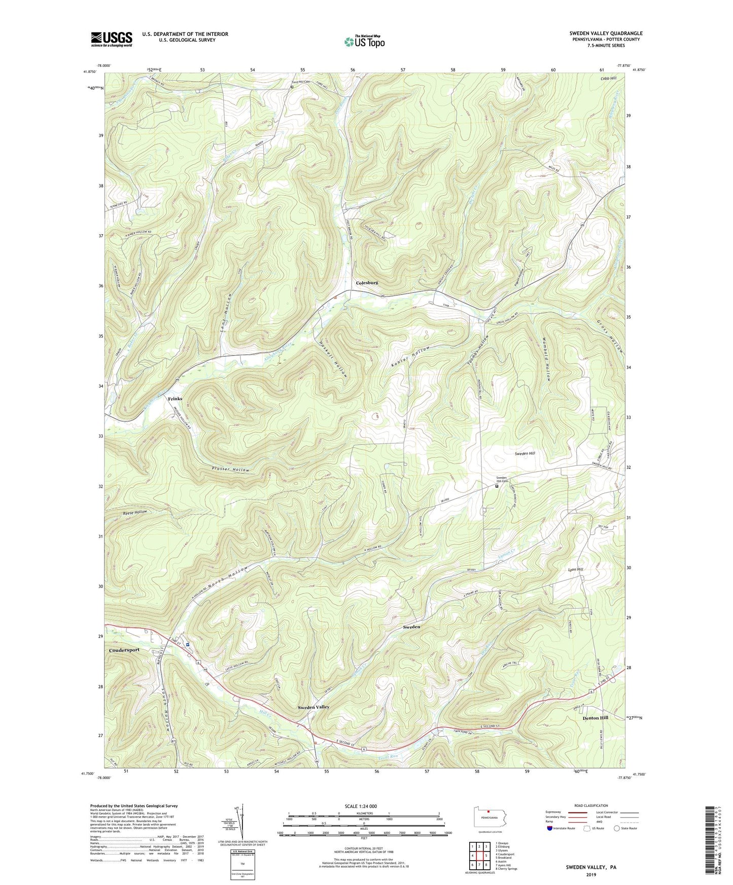
2023 topographic map quadrangle Sweden Valley in the state of Pennsylvania. Scale: 1:24000. Based on the newly updated USGS 7.5' US Topo map series, this map is in the following counties: Potter. The map contains contour data, water features, and other items you are used to seeing on USGS maps, but also has updated roads and other features. This is the next generation of topographic maps. Printed on high-quality waterproof paper with UV fade-resistant inks.
Quads adjacent to this one:
West: Coudersport
Northwest: Oswayo
North: Ellisburg
Northeast: Ulysses
East: Brookland
Southeast: Cherry Springs
South: Ayers Hill
Southwest: Austin
This map covers the same area as the classic USGS quad with code o41077g8.
Contains the following named places: Charles Cole Memorial Hospital, Colesburg, Denton Hill, Dry Run, Dwight Creek, Ford Hill Cemetery, Frinks, Gross Hollow, Harvey School, Haskell Hollow, Ho-Dah-We Boy Scout Camp, Ice Mine, Judd School, Kohler Hollow, Lent Hollow, Lyman Creek, Lymansville, Lyon Hill, North Hollow, North Hollow School, Peet Brook, Pigeon Hollow, Prosser Hollow, Seven Bridges, South Hollow, Sweden Hill, Sweden Hill Cemetery, Sweden Valley, Sweden Valley Census Designated Place, Toombs Hollow, Township of Allegany, Township of Sweden, Trout Run, Wambold Hollow, Woodcock Creek, ZIP Code: 16915