MyTopo
Coudersport Pennsylvania US Topo Map
Couldn't load pickup availability
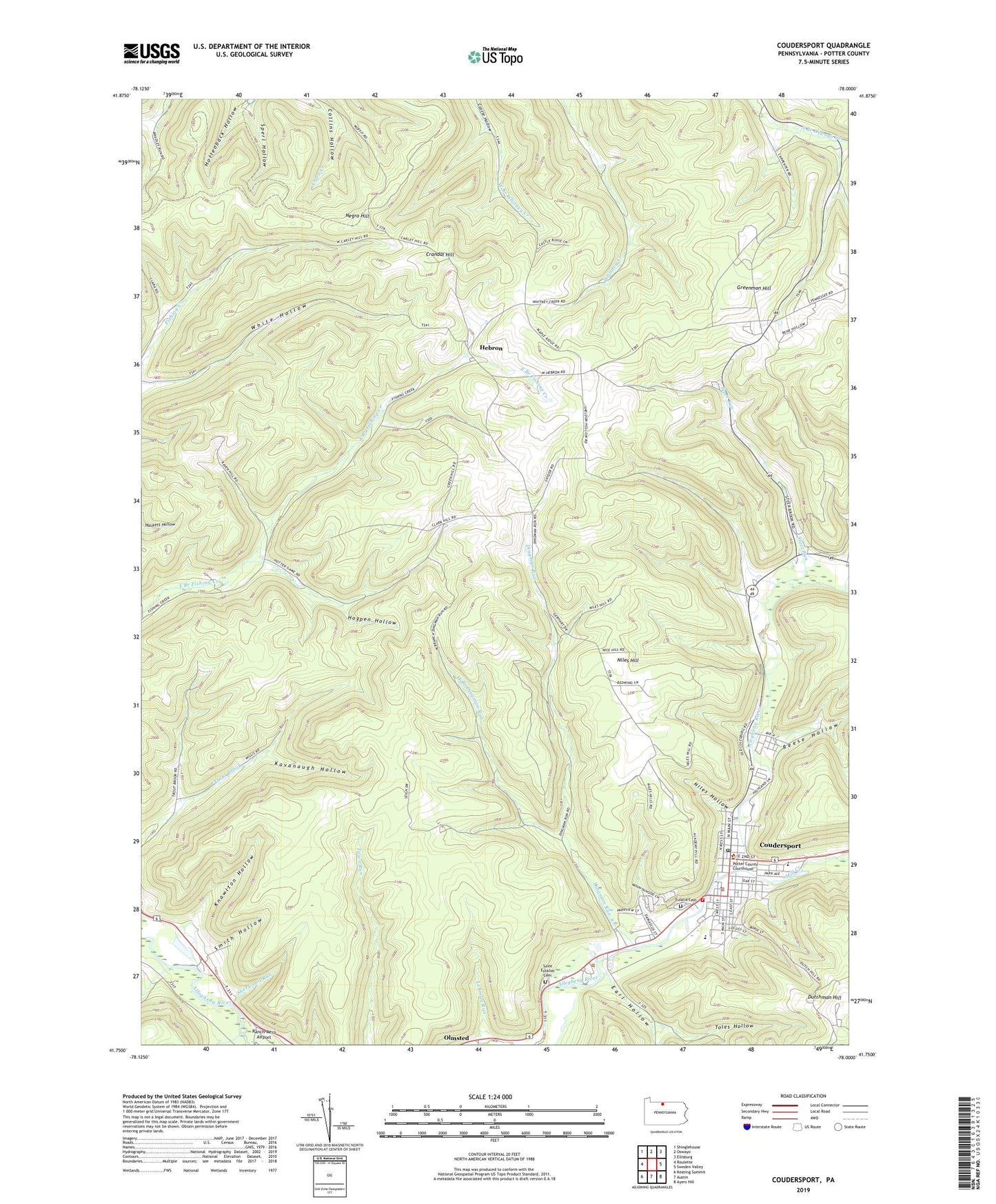
2023 topographic map quadrangle Coudersport in the state of Pennsylvania. Scale: 1:24000. Based on the newly updated USGS 7.5' US Topo map series, this map is in the following counties: Potter. The map contains contour data, water features, and other items you are used to seeing on USGS maps, but also has updated roads and other features. This is the next generation of topographic maps. Printed on high-quality waterproof paper with UV fade-resistant inks.
Quads adjacent to this one:
West: Roulette
Northwest: Shinglehouse
North: Oswayo
Northeast: Ellisburg
East: Sweden Valley
Southeast: Ayers Hill
South: Austin
Southwest: Keating Summit
This map covers the same area as the classic USGS quad with code o41078g1.
Contains the following named places: Baker Creek, Borough of Coudersport, Coudersport, Coudersport and Port Allegheny Railroad Historic Site, Coudersport Area Elementary School, Coudersport Area Junior Senior High School, Coudersport Borough Police Department, Coudersport Court House Historic Site, Coudersport Post Office, Coudersport Volunteer Ambulance Association, Coudersport Volunteer Fire Department Station 48, Crandal Hill, Dingman Run, Dingman Run School, Dutchman Hill, Earl Hollow, Eulalia Cemetery, Greenman Hill, Greenman Hill School, Hebron, Hogpen Hollow, Kavanaugh Hollow, Knowlton Hollow, Lamont, Mill Creek, Mountain Springs Heliport, Negro Hill, Niles Hill, Niles Hollow, Olmsted, Potter County Sheriff's Office, Reed Run, Reese Hollow, Saint Eulalias Cemetery, Sherwood Run, Smith Hollow, Sperl Hollow, State Game Lands Number 204, Steer Run, Toles Hollow, Township of Clara, Township of Eulalia, Township of Hebron, West Branch Dingman Run, WFRM-AM (Coudersport), White Chopin Hollow, ZIP Code: 16746


