MyTopo
Beaver Springs Pennsylvania US Topo Map
Couldn't load pickup availability
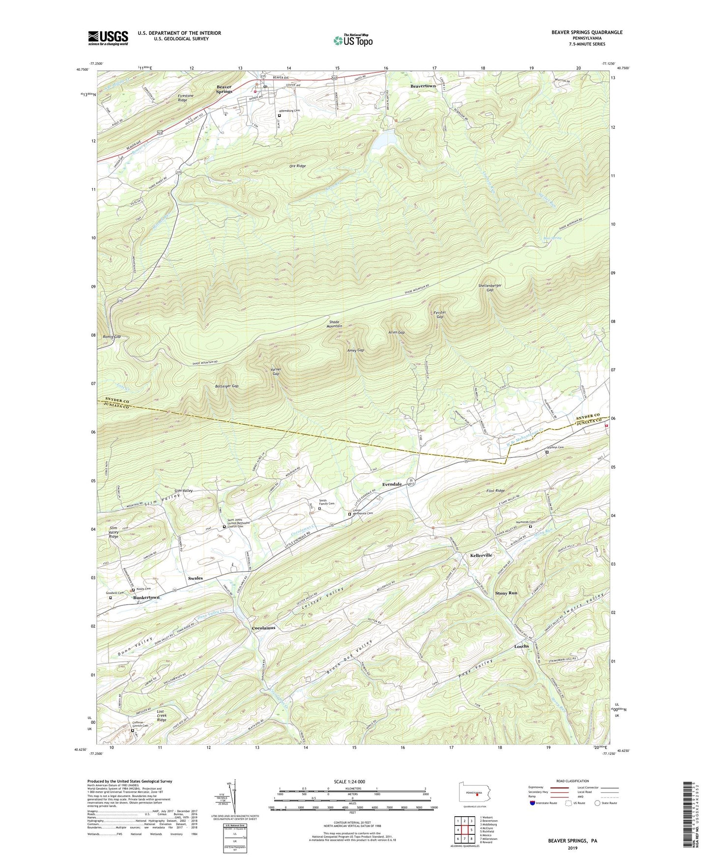
2019 topographic map quadrangle Beaver Springs in the state of Pennsylvania. Scale: 1:24000. Based on the newly updated USGS 7.5' US Topo map series, this map is in the following counties: Juniata, Snyder. The map contains contour data, water features, and other items you are used to seeing on USGS maps, but also has updated roads and other features. This is the next generation of topographic maps. Printed on high-quality waterproof paper with UV fade-resistant inks.
Quads adjacent to this one:
West: McClure
Northwest: Weikert
North: Beavertown
Northeast: Middleburg
East: Richfield
Southeast: Reward
South: Millerstown
Southwest: Mexico
Contains the following named places: Adamsburg Cemetery, Allen Gap, Amey Gap, Bear Spring, Beaver Springs, Beaver Springs Census Designated Place, Beaver Springs Fire Department Station 10, Beaver Springs Post Office, Beaver-Adams School, Black Dog Valley, Botteiger Gap, Bunkertown, Cocolamus, Coffman - Ginrich Cemetery, Dunn Valley, Dunn Valley Creek, East Juniata High School, Evendale, Ferster Gap, Flint Ridge, Gimberlings Mill, Goodwill Cemetery, Kellerville, Koons Cemetery, Lauver Mennonite Cemetery, Lauvers Church, Leister Valley, Liberty School, Loschs, Mitchell Run, Niemonds Cemetery, Niemonds Church, Ore Ridge, Pa-638 Reservoir, Page Valley, Redbank School, Richfield Ambulance League Station 9, Richfield Fire Company Station 9, Romig Gap, Saint Johns Church, Saint Johns United Methodist Church Cemetery, Shellenberger Gap, Shelley Private Airport, Shelleys Cemetery, Slim Valley, Smith Family Cemetery, Stony Run, Stony Run School, Swales, Swartz School, Swartz Valley, Three Rivers Church, Varner Gap, West Snyder High School, ZIP Code: 17812