MyTopo
Berlin Pennsylvania US Topo Map
Couldn't load pickup availability
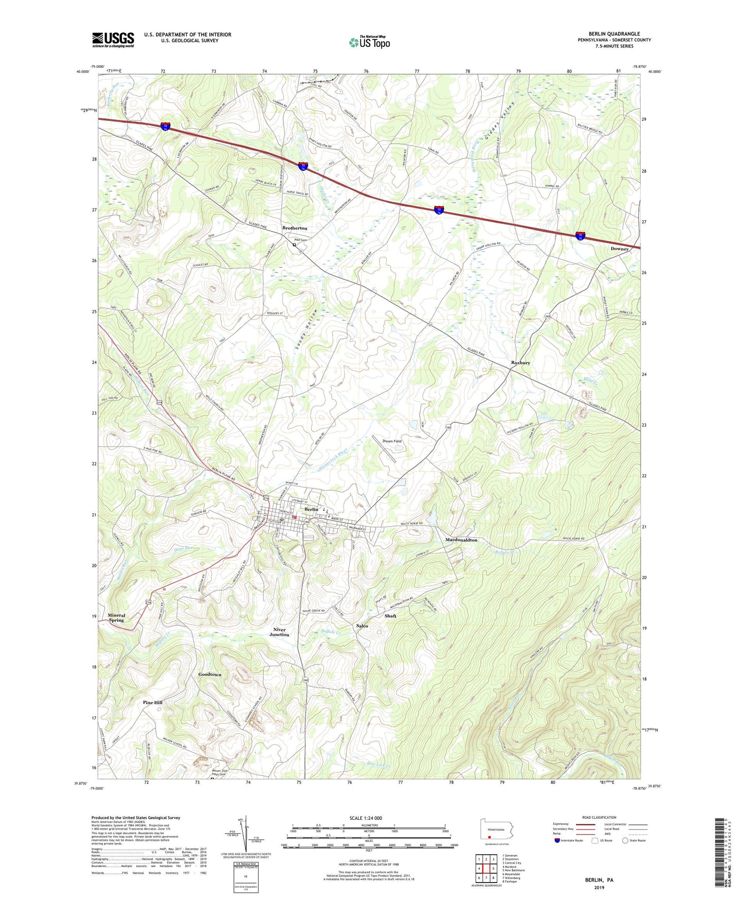
2019 topographic map quadrangle Berlin in the state of Pennsylvania. Scale: 1:24000. Based on the newly updated USGS 7.5' US Topo map series, this map is in the following counties: Somerset. The map contains contour data, water features, and other items you are used to seeing on USGS maps, but also has updated roads and other features. This is the next generation of topographic maps. Printed on high-quality waterproof paper with UV fade-resistant inks.
Quads adjacent to this one:
West: Murdock
Northwest: Somerset
North: Stoystown
Northeast: Central City
East: New Baltimore
Southeast: Fairhope
South: Wittenberg
Southwest: Meyersdale
Contains the following named places: Berlin, Berlin Area Ambulance Association Station 500, Berlin Borough Police Department, Berlin Fire Department Station 628, Berlin Post Office, Berlin-Brothersvalley Joint Schools, Borough of Berlin, Brotherton, Brotherton Pike Cemetery, Cambria Four Mine Station, Davey Station, Downey, Dream Field, East End, East Liberty, Factory School, Glades Creek, Glessner School, Goodtown, Hays Run, Hillcrest Grange, Macdonaldton, Mineral Spring, Mostoller Landfill, Niver Junction, North View Airport, Pennwood Farms, Pine Hill, Pine Hill Mine Number 1 Station, Pine Hill Mine Number 2 Station, Pine Hill Post Office, Pine Hill Station, Plank Road School, Pleasant Valley School, Reitz Creek, Roxbury, Saint Gregorys Church, Saint Michaels Church, Salco, Salco Mines, Sandy Hollow, Sandy Hollow School, Shaft, Shipley Brothers Mine, Stony Creek Post Office, Sugar Grove School, Township of Brothersvalley, Vietersburg, Walker School, ZIP Code: 15530