MyTopo
Stoystown Pennsylvania US Topo Map
Couldn't load pickup availability
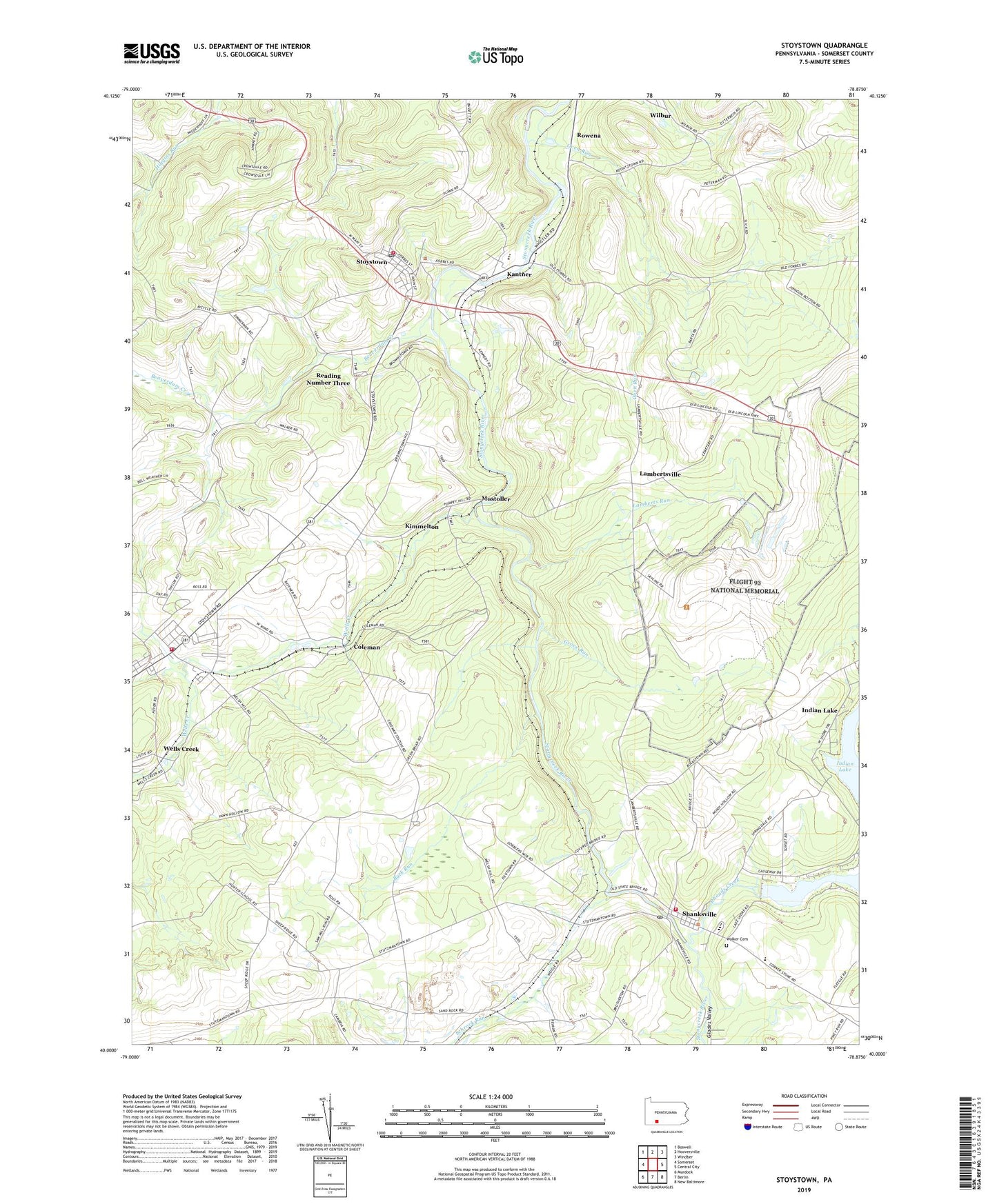
2023 topographic map quadrangle Stoystown in the state of Pennsylvania. Scale: 1:24000. Based on the newly updated USGS 7.5' US Topo map series, this map is in the following counties: Somerset. The map contains contour data, water features, and other items you are used to seeing on USGS maps, but also has updated roads and other features. This is the next generation of topographic maps. Printed on high-quality waterproof paper with UV fade-resistant inks.
Quads adjacent to this one:
West: Somerset
Northwest: Boswell
North: Hooversville
Northeast: Windber
East: Central City
Southeast: New Baltimore
South: Berlin
Southwest: Murdock
This map covers the same area as the classic USGS quad with code o40078a8.
Contains the following named places: Adams Station, Beaverdam Creek, Borough of Shanksville, Borough of Stoystown, Breastwork School, Buck Run, California School, City School, Coleman, Cowens Gap Dam, Flight 93 National Memorial, Forbes High School, Friedens, Friedens Post Office, Friedens Volunteer Fire Department - Station 603, Glades Valley, Grove Run, Hunter School, Kantner, Kimmelton, Lake Stonycreek Dam, Lamberts Run, Lambertsville, Mizpah Church, Mostoller, Mostoller School, Oven Run, Pine Grove School, Pokey Church, Quemahoning Junction Station, Rayman Church, Reading Junction Station, Reading Number Three, Rhoads Creek, Rowena, Scalp Level School, Schrock Run, Shanksville, Shanksville Post Office, Shanksville Volunteer Fire Company - Station 627, Shanksville-Stonycreek School, Stone Bridge, Stoyestown Station, Stoystown, Stoystown Post Office, Stoystown Volunteer Fire Company Station 604, Township of Quemahoning, Township of Stonycreek, Vang Junction Station, Walker Cemetery, Walkers Mill, Walnut Hill, Walnut Hill School, Wells Creek, Wilbur, ZIP Codes: 15541, 15560, 15563


