MyTopo
Cornplanter Run Pennsylvania US Topo Map
Couldn't load pickup availability
Also explore the Cornplanter Run Forest Service Topo of this same quad for updated USFS data
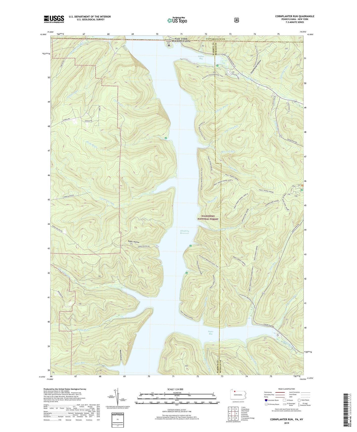
2023 topographic map quadrangle Cornplanter Run in the states of Pennsylvania, New York. Scale: 1:24000. Based on the newly updated USGS 7.5' US Topo map series, this map is in the following counties: Warren, McKean, Cattaraugus. The map contains contour data, water features, and other items you are used to seeing on USGS maps, but also has updated roads and other features. This is the next generation of topographic maps. Printed on high-quality waterproof paper with UV fade-resistant inks.
Quads adjacent to this one:
West: Scandia
Northwest: Ivory
North: Steamburg
Northeast: Red House
East: Stickney
Southeast: Westline
South: Cornplanter Bridge
Southwest: Clarendon
This map covers the same area as the classic USGS quad with code o41078h8.
Contains the following named places: Allegheny Reservoir, Billies Run, Brothwell Run, Camp Olmsted, Carr Brook, Coffey Run, Cornplanter, Cornplanter Indian Reservation, Cornplanter Run, Corydon, Deer Lick Run, Fishburn Run, Gowango, Handsome Lake Campground, Hodge Run, Hooks Brook, Hooks Brook Campground, Hopewell Campground, Johnnycake Run, Johnnycake Trail, Land of Many USES Interpretive Trail, Nelse Run, North Branch Hodge Run, North Branch Sugar Run, North Branch Tracy Run, Olmstead, Pennsylvania Trail, Pigeon Run, Pollys Run, Reservation Island, Riverview Cemetery, Roper Hollow, Roper Hollow Boat Ramp, Roper Hollow Recreation Area, Schoolhouse Hollow, South Branch State Line Run, Sugar Bay, Sugar Run, Tinkertown Run, Township of Elk, Tracy Ridge Campground, Tracy Run, Webbs Ferry Boat Access, Webbs Ferry Recreation Area, Weed Hollow, Whisky Run, Williams Brook, Willow Bay, Willow Bay Recreation Area, Willow Creek