MyTopo
Huntley Pennsylvania US Topo Map
Couldn't load pickup availability
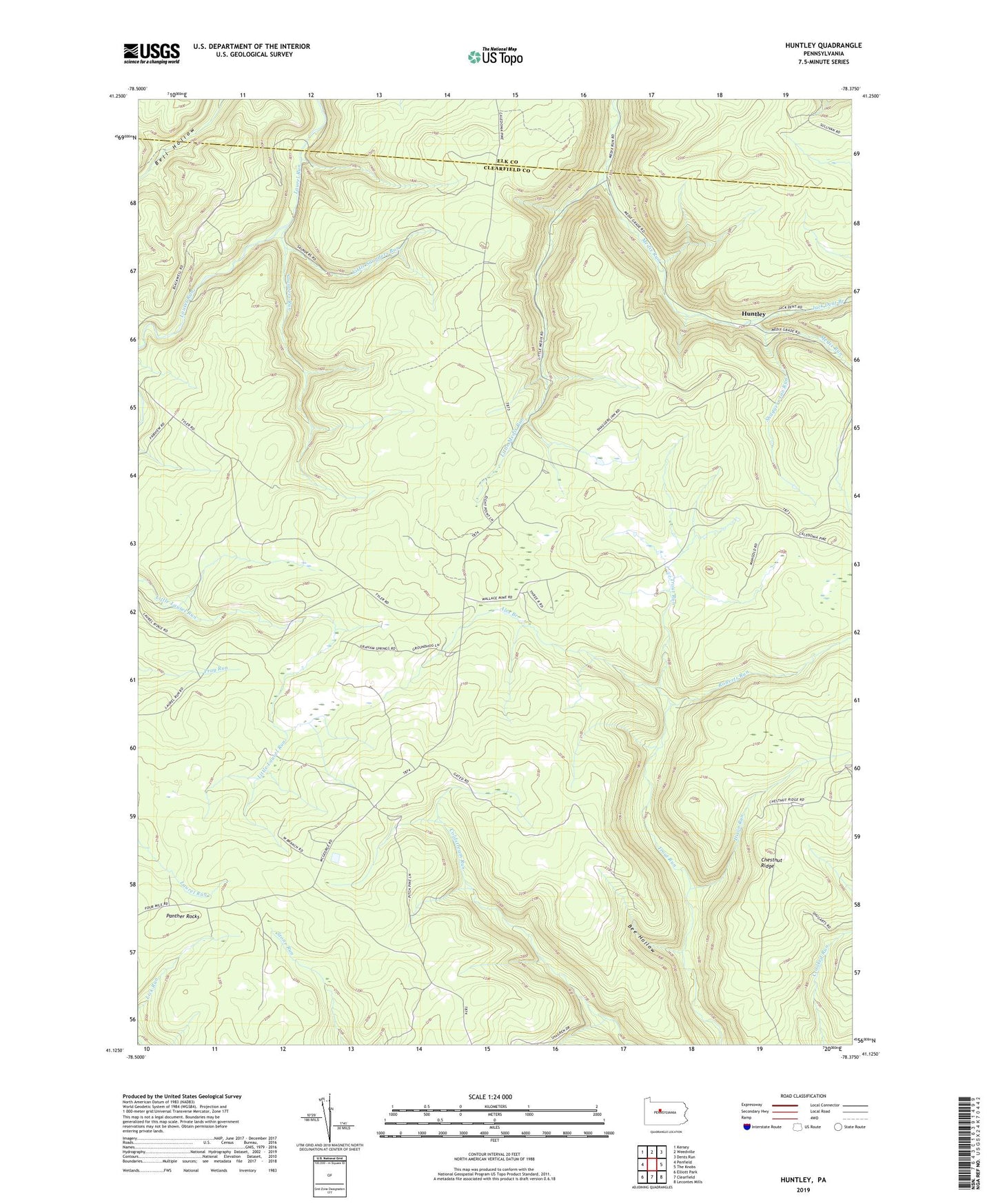
2019 topographic map quadrangle Huntley in the state of Pennsylvania. Scale: 1:24000. Based on the newly updated USGS 7.5' US Topo map series, this map is in the following counties: Clearfield, Elk. The map contains contour data, water features, and other items you are used to seeing on USGS maps, but also has updated roads and other features. This is the next generation of topographic maps. Printed on high-quality waterproof paper with UV fade-resistant inks.
Quads adjacent to this one:
West: Penfield
Northwest: Kersey
North: Weedville
Northeast: Dents Run
East: The Knobs
Southeast: Lecontes Mills
South: Clearfield
Southwest: Elliott Park
Contains the following named places: Alex Branch, Bee Hollow, Big Ridge Trail, Chestnut Ridge, Dixon Run, Huntley, Jack Dent Branch, Little Medix Run, Little Saunders Run, Panther Rocks, Roberts Run, Saunders Run, Shaggers Inn Run, State Game Lands Number 94, Township of Goshen