MyTopo
Kersey Pennsylvania US Topo Map
Couldn't load pickup availability
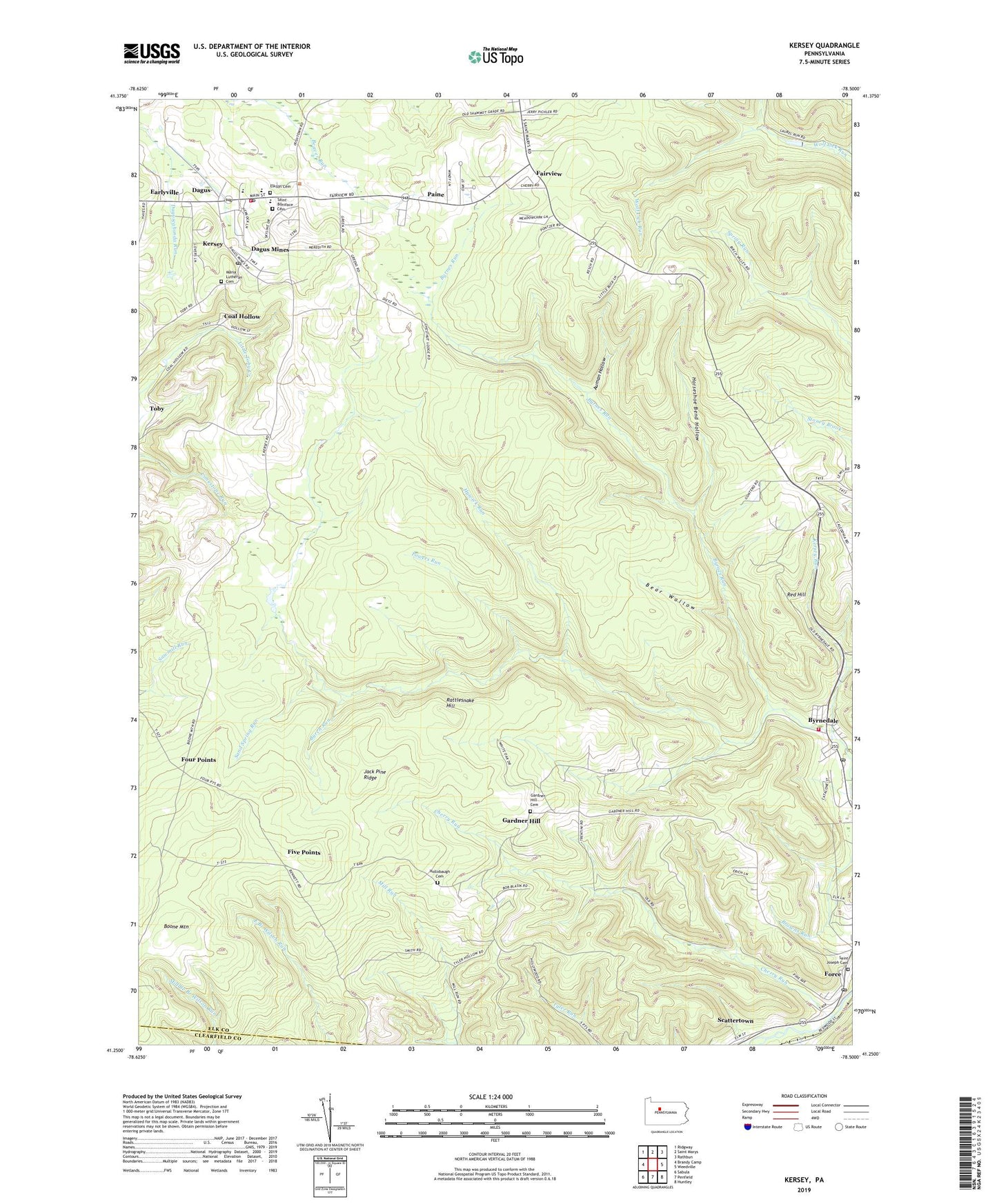
2023 topographic map quadrangle Kersey in the state of Pennsylvania. Scale: 1:24000. Based on the newly updated USGS 7.5' US Topo map series, this map is in the following counties: Elk, Clearfield. The map contains contour data, water features, and other items you are used to seeing on USGS maps, but also has updated roads and other features. This is the next generation of topographic maps. Printed on high-quality waterproof paper with UV fade-resistant inks.
Quads adjacent to this one:
West: Brandy Camp
Northwest: Ridgway
North: Saint Marys
Northeast: Rathbun
East: Weedville
Southeast: Huntley
South: Penfield
Southwest: Sabula
This map covers the same area as the classic USGS quad with code o41078c5.
Contains the following named places: Auman Hollow, Bear Wallow, Burch Run, Byrnedale, Byrnedale Census Designated Place, Byrnedale Post Office, Byrnes Run, Cardiff, Cherry Run, Coal Hollow, Dagus, Dagus Mine Post Office, Dagus Mines, Earlyville, Elk State Forest, Elkton Cemetery, Fairview, Five Points, Force, Force Census Designated Place, Force Post Office, Four Points, Fox Township Ambulance Station 320, Fox Township Volunteer Fire Department Company 3, Gardner Hill, Gardner Hill Cemetery, Gardner Hill School, Hollobaugh Cemetery, Horseshoe Bend Hollow, Hywick Run, Jack Pine Ridge, Jay Township Volunteer Fire Company 5, Kersey, Kersey Census Designated Place, Kersey Post Office, Maria Lutheran Cemetery, Paine, Powers Run, Rattlesnake Hill, Red Hill, Saint Boniface Cemetery, Saint Joseph Cemetery, Sand Spring Run, Toby Mine, Township of Fox, Wolf Lick Reservoir, ZIP Codes: 15827, 15841, 15846